Map size in jpg-format: 40.136MiB
Click to open in high resolution (open in new tab).
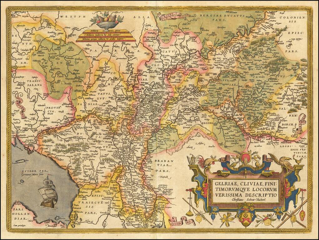
Striking regional map of the Low Countries from Ortelius' Theatrum Orbis Terrarum, the first modern atlas of the world.
Includes a large cartouche, war ship and scale of miles.
If you are a student, write to us in telegram: @antiquemaps and indicate what material you need and for what work you need a map in high detail. We are ready to provide material on special terms. For students only!


