Map size in jpg-format: 39.3106MiB
Click to open in high resolution (open in new tab).
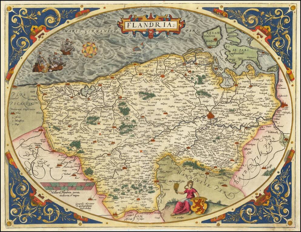
A nice example of Ortelius's second map of Flanders, from the 1584 Latin edition of his Theatrum Orbis Terrarum, the first modern atlas of the world. The map is executed inside of a decorative strapwork egg-shaped border and is one of the most decorative of Ortelius' regional maps and is further embellished with a compass rose, sailing ships in battle, sea monsters, a coat of arms and a woman seated and holding grain. The map is based upon Gerard Mercator's map of Flanders of 1540.
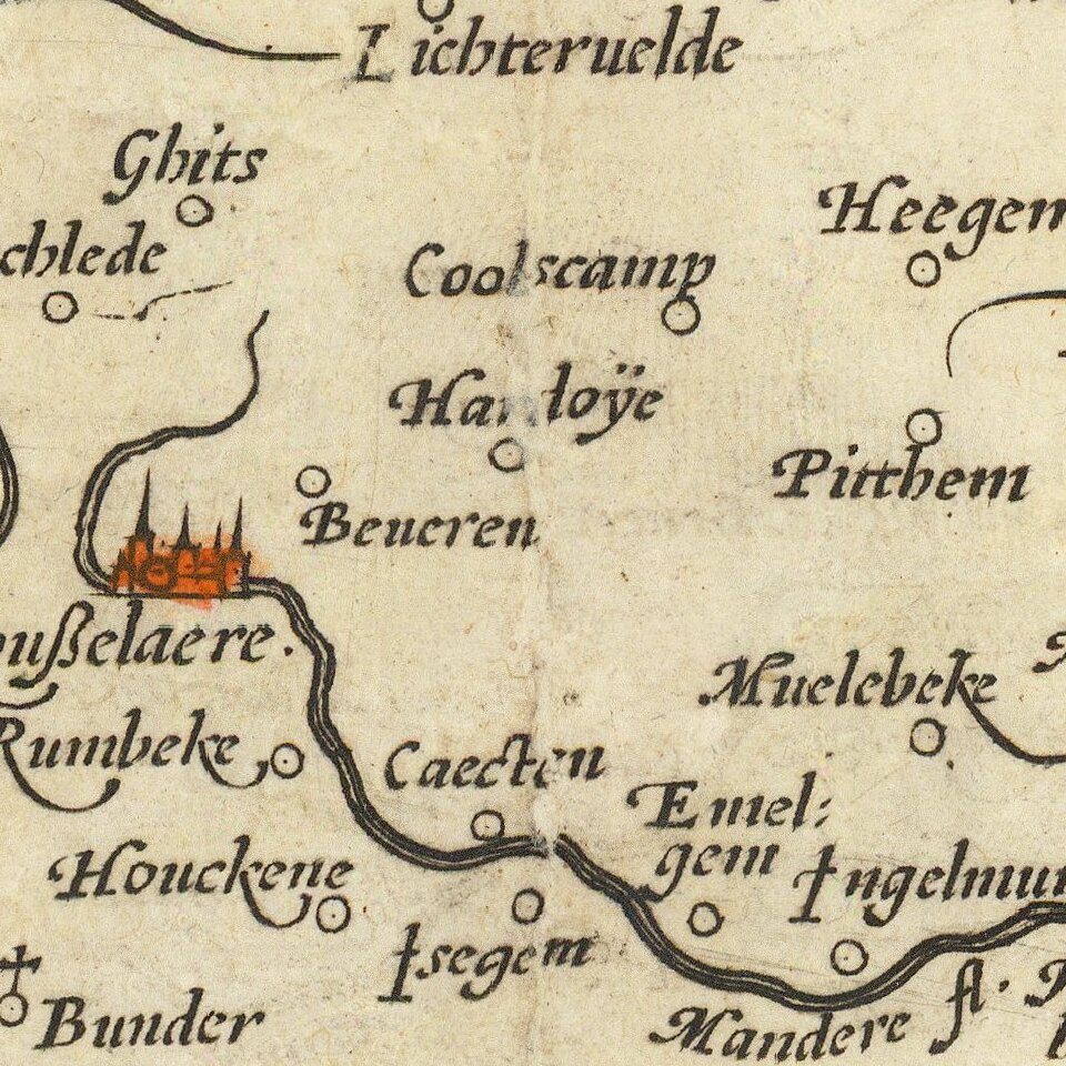
Flanders was one of the richest and most important regions of Europe throughout the modern era. This low-lying Dutch-speaking province hosted some of the great cities of Europe, with "Gendr" (Ghent) being pictured here as the greatest city in the region. Antwerp is shown as part of "Brabantia," and Zeeland Flanders as part of Dutch Zealandia, indicating how much the concept of Flanders has changed. While Flanders originally referred to solely the region shown on this map which comprised the fiefdom of Flanders, while now it refers to all of Dutch-speaking Belgium.
Here, the region is attractively portrayed, with forests and low hills shown pictorially. Many other features are denoted, including lakes, rivers, islands, monasteries, and much more. This map is a prime example of why Ortelius's maps are so prized.
Ortelius published two iterations of this map in 1573, with a combined total of 75 examples, making this the rarest version of the map. The two 1573 iterations are barely distinguishable: Ortelius decided to recenter an additional line the final paragraph on the verso, perhaps for some aesthetic or spacing reason. This Latin text describes the various cities, neighbors, and inhabitants of the region.
Theatrum Orbis Terrarum
Ortelius's Theatrum Orbis Terrarum (or "Theater of the World") is widely considered to be the first modern atlas, meaning that this was the first published set of uniform maps with supporting text gathered in book form. Previous bound map collections exist, for example the Italian Lafreri atlases, but these were sets of maps selected and bound together on demand. The Theatrum, in contrast, was the best available summary of sixteenth-century cartographic knowledge, covering much of the exploration of the world in the century following the discovery of America.
The atlas was first published in 1570 Antwerp. Ortelius’ atlas outperformed later competing atlases from other cartographic luminaries like the De Jode and the Mercator family. The broad appeal of the work is demonstrated by the array of languages in which the atlas appeared: in addition to Latin, the atlas was published with text in Dutch, French, German, Italian, Spanish, and English. Between 1570 and 1612, at least 31 editions of the atlas were published in seven languages. The editions grew over time, with the first edition having had 53 maps, and the 1612 edition having 167.
At the time of its publication, the Theatrum was the most expensive book ever produced. Ortelius created all maps personally, hand drawing the rough sketches. Those drawings were then interpreted into prints by his engravers Frans Hogenberg, Ambrosius Arsenius, and Ferdinand Arsenius.
After Ortelius's death in 1598, the copper plates for his atlas passed to his heirs. They, in turn, sold the collection to Jan Baptist Vrients (1522-1612) in 1601. Vrients added new maps and published the atlas until his own death in 1612. Vrients's widow then sold the plates to the Moretus brothers, who were the successors of Christoffel Plantin. Recent research has unearthed examples of the atlas with maps dated to 1640.
If you are a student, write to us in telegram: @antiquemaps and indicate what material you need and for what work you need a map in high detail. We are ready to provide material on special terms. For students only!