Map size in jpg-format: 7.85642MiB
Click to open in high resolution (open in new tab).
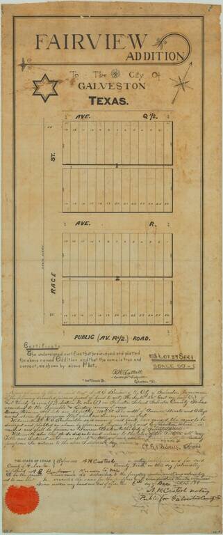
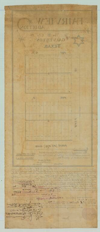
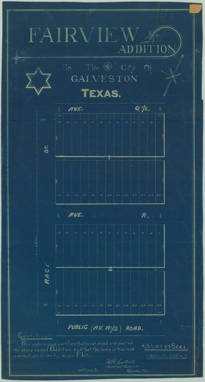
19th-century Manuscript Map of Part of Galveston Texas.
Unique antique manuscript map of the "Fairview Addition" to Galveston, Texas, produced by one of Galveston's most important early surveyors, R.W. Luttrell.
The map covers two blocks of plots, Avenue Q1/2 and R1/2 off of "Race Street", which either was never so-named or has since been renamed in keeping with Galveston's typical numerical grid.
This is probably one of a series of realized or speculative real estate schemes that were hatched during Galveston's boom years, leading up to the Great Galveston Hurricane.
The map bears signed certifications and stamps and seals on the front and back of the sheet.
If you are a student, write to us in telegram: @antiquemaps and indicate what material you need and for what work you need a map in high detail. We are ready to provide material on special terms. For students only!


