Map size in jpg-format: 10.0624MiB
Click to open in high resolution (open in new tab).
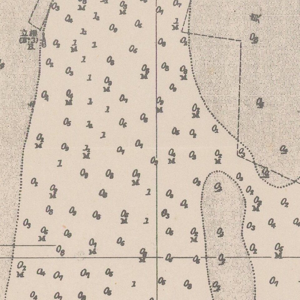
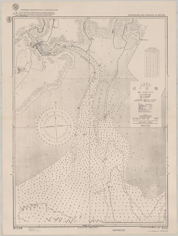
Scarce sea chart of part of the west coast of Kyushu, providing a fascinating insight into U.S. efforts to produce maps of Japan during World War II.
The map, which was published by the Navy in September 1944, shows an area on the west coast of Kyushu, which would have been of particular interest in the advent of an U.S. invasion. By this point in the war, Allied forces had begun the offensive in France, and strategic focus was shifting to the Japanese homeland.
The survey on which this map is based was produced by the Japanese Navy in 1923. The U.S. Navy had begun producing charts of Japanese waters based on those surveys at least in the late 1930s.
If you are a student, write to us in telegram: @antiquemaps and indicate what material you need and for what work you need a map in high detail. We are ready to provide material on special terms. For students only!
![[First Map of the American Continent] Tavola dell' isole nuove, le quali son nominate occidentali, & indiane per diversi rispetti.](/map/small/67312.jpg)

![[English Edition!] Maris Pacifici quod vulgo Mar del Zud](/map/small/71000.jpg)