Map size in jpg-format: 61.4295MiB
Click to open in high resolution (open in new tab).
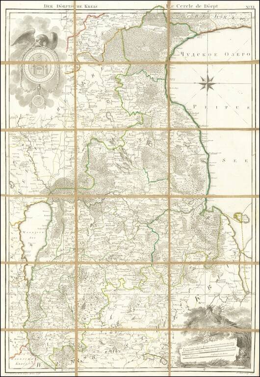
Rare engraved map of eastern Estonia between Lakes Võrtsjärv and Peipus, with the town of Doerpt (now Tartu) at the center.
The map features an attractively-engraved coat of arms of the city of Doerpt at the upper-left.
This map was included in Ludwig August Mellin's Riga-published Atlas von Liefland, oder von den beyden Gouvernementern u. Herzogthümern Lief- und Ehstland, und der Provinz Oesel.
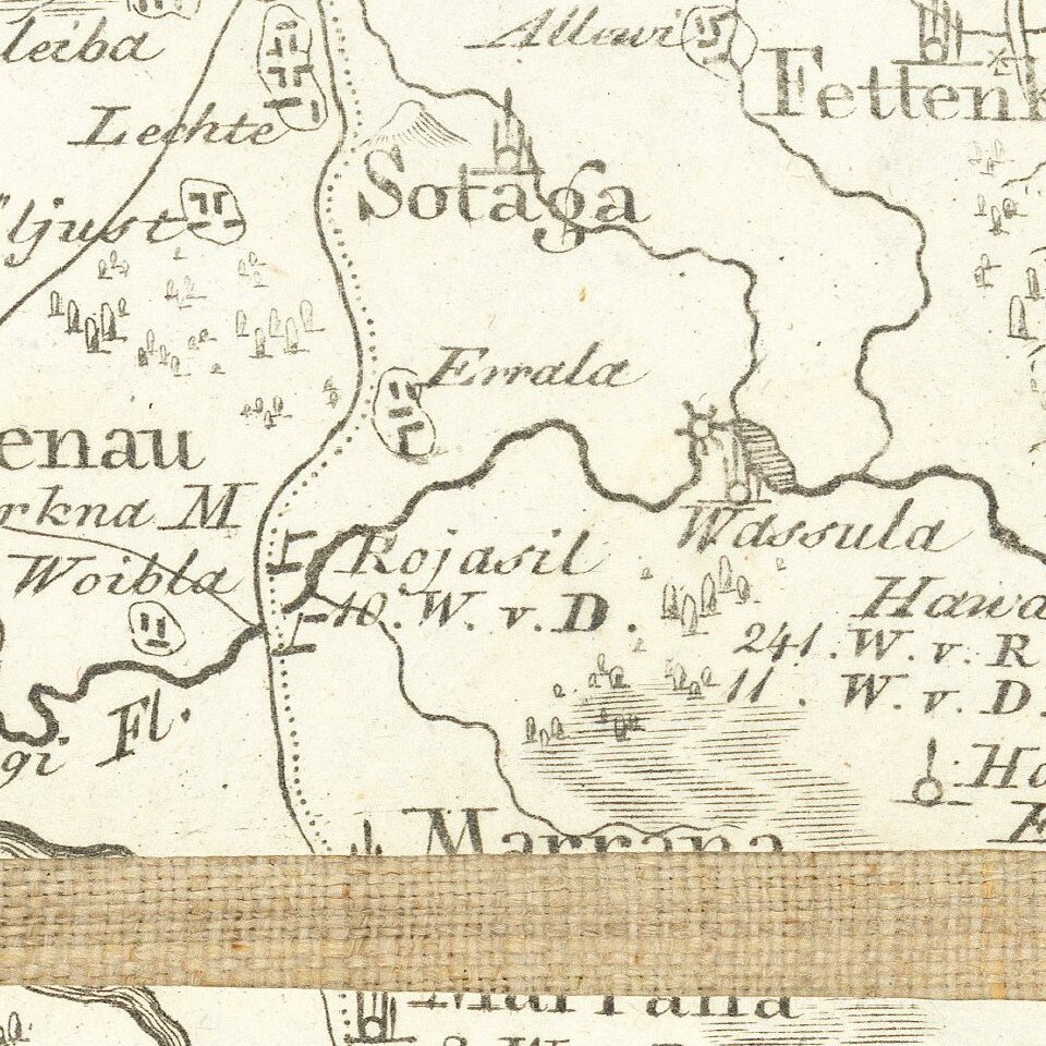
This example of the map was never bound in an atlas, instead being mounted on linen for individual use.
If you are a student, write to us in telegram: @antiquemaps and indicate what material you need and for what work you need a map in high detail. We are ready to provide material on special terms. For students only!


