logo

1700. Description de tout L'Univers en plusieurs cartes, & en divers traitez de Geographie et d'Histoire ... par Mrs Sanson Pere & Fils.

  • Description de tout L'Univers en plusieurs cartes, & en divers traitez de Geographie et d'Histoire ... par Mrs Sanson Pere & Fils.
  • Description de tout L'Univers en plusieurs cartes, & en divers traitez de Geographie et d'Histoire ... par Mrs Sanson Pere & Fils.
  • Description de tout L'Univers en plusieurs cartes, & en divers traitez de Geographie et d'Histoire ... par Mrs Sanson Pere & Fils.
  • Description de tout L'Univers en plusieurs cartes, & en divers traitez de Geographie et d'Histoire ... par Mrs Sanson Pere & Fils.

Description de tout L'Univers en plusieurs cartes, & en divers traitez de Geographie et d'Histoire ... par Mrs Sanson Pere & Fils. information:

Year of creation: 
Resolution size (pixels): 
 8103x5589 px
Disk Size: 
 11.8218MiB
Number of pages: 
 99
Place: 
 Amsterdam

Print information. Print size (Width x height in inches):
Printing at 72 dpi 
  112.54 х 77.63
Printing at 150 dpi 
 54.02 х 37.26
Printing at 300 dpi 
 27.01 х 18.63

An example of detailing the file of this map of in a printable high-resolution:

Click to open in high resolution (open in new tab).
Attention! this is just the central piece (central area 960x960 px) of the map file!
This is an example, so that you can see and study the level of detail of a given map. The entire Map will be fully available after payment!

Description de tout L'Univers en plusieurs cartes, & en divers traitez de Geographie et d'Histoire ... par Mrs Sanson Pere & Fils.

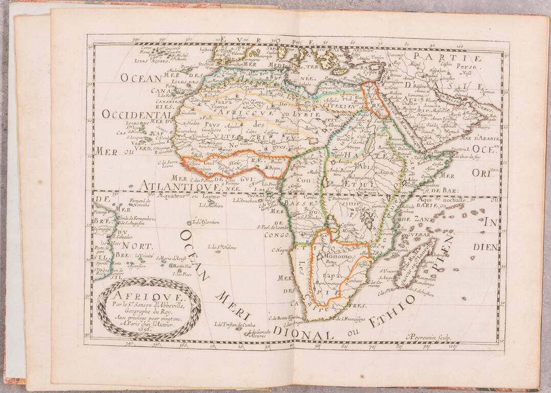
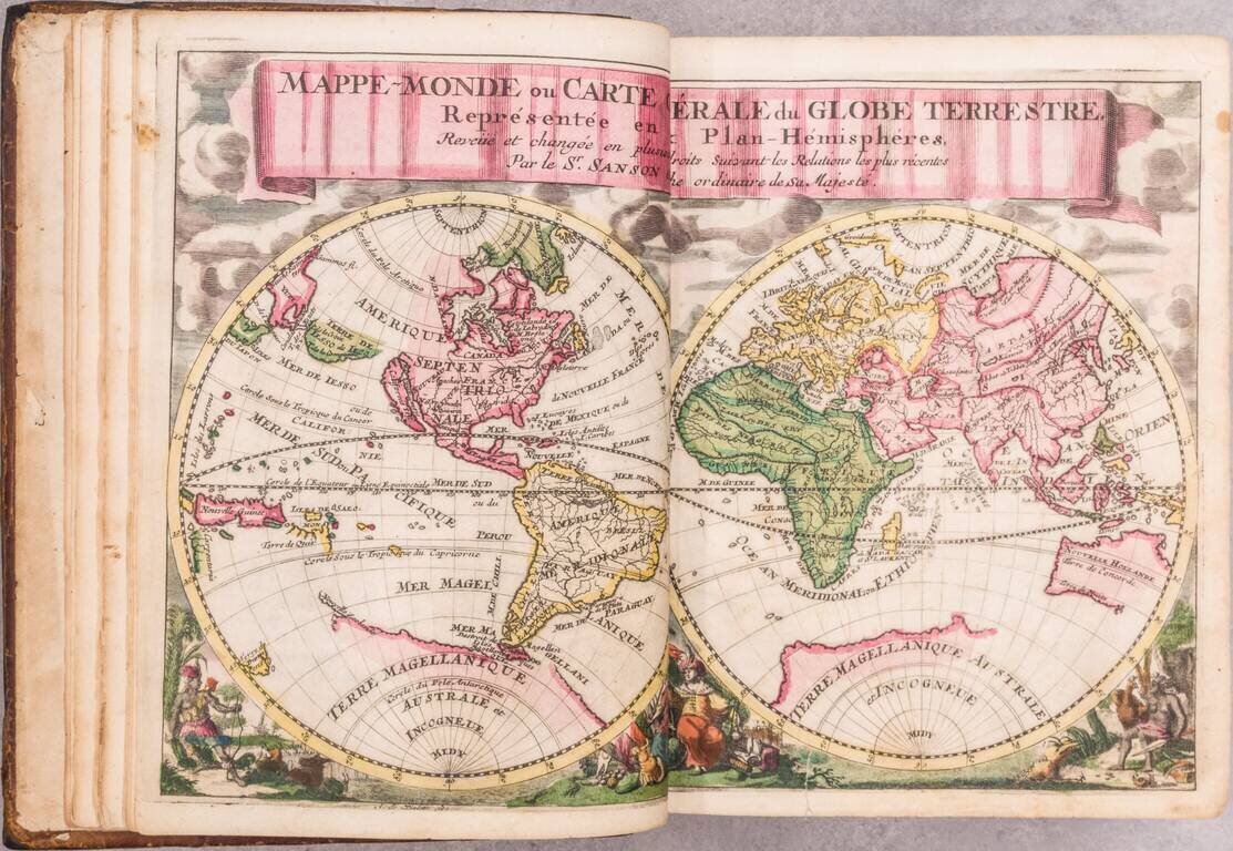
A beautiful miniature Halma edition of a Sanson gentleman's pocket atlas in exquisite full contemporary Dutch color.

The volume includes Sanson's pocket atlas, with Bion's useful work on globes. Although this atlas is always listed under Nicolas Sanson, it is essentially Francois Halma's plagiarized pocket version of the Sanson atlas, with the map divided into continent groups. Halma (1653-1722) also reprinted Mercator's Ptolemy and Bonfrere's Geography for the growing French market.

The engraved allegorical title-page has caused some confusion among catalogers in the past, as it includes the date "1760". In all likelihood, this is an inversion of 1706 or some similar error, as Halma was dead by 1722. Neither the coloring nor anything else about the book suggests that it was published after 1720.
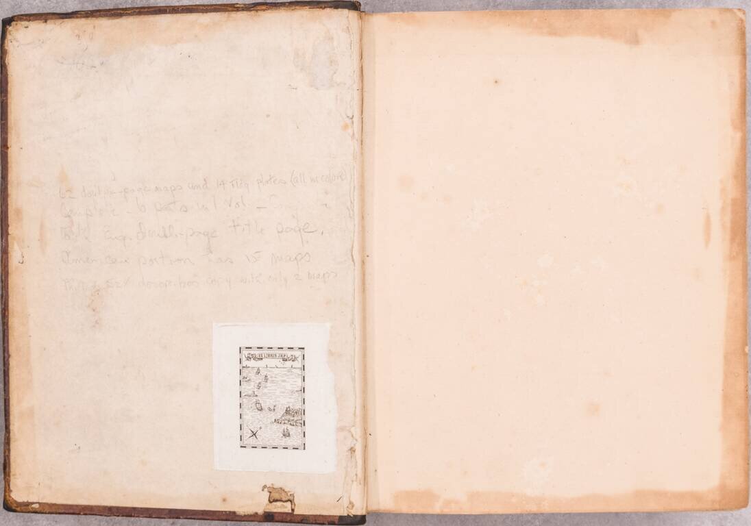
Provenance

  • Baltazar Ciecierski (born 1680), court official of Drohiczyn, in Poland (inscribed on first dedication leaf “Ex biblioteca M. Balthasaris Ciecierskei [...]”);
  • Jean R. Perrette, famed atlas and travel book collector. His sale, Christie's New York, 2016
See Koeman Hal 1; Phillips, Atlases, 528.

Special conditions for students!

If you are a student, write to us in telegram: @antiquemaps and indicate what material you need and for what work you need a map in high detail. We are ready to provide material on special terms. For students only!

Item information:

Year of creation:
Size:
8103x5589 px
Disk:
11.8218MiB
Number of pages:
99
Place:
Amsterdam
Author:
Guillaume Sanson. Francois Halma.
$24.99

Related item