Map size in jpg-format: 38.3913MiB
Click to open in high resolution (open in new tab).
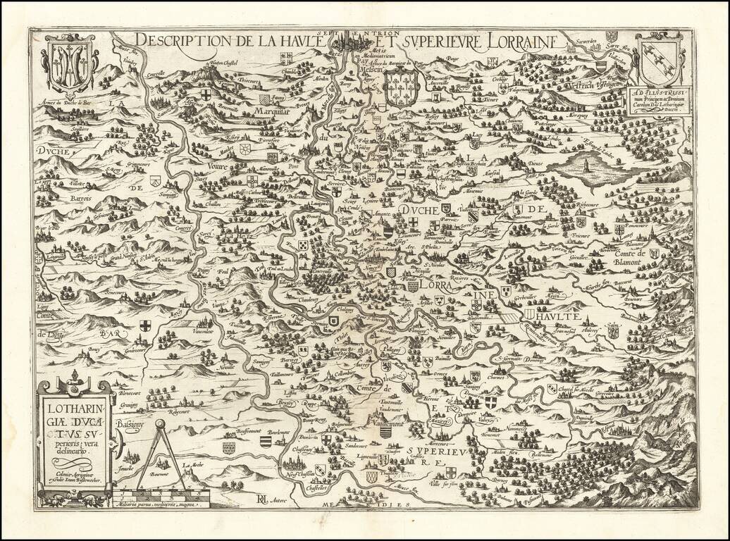
Rare separately published map of the Lorraine region by Johannes Bussemacher of Cologne.
The map is centered on the course of the Moselle River and the Meuse (Maas) Rivers, with dozens of smaller coats of arms locating early towns and families.
The map is centered on Pont Amonsson (Pont-à-Mousson) with Metz at the top center and Nancy to the south of Pont-à-Mousson.
If you are a student, write to us in telegram: @antiquemaps and indicate what material you need and for what work you need a map in high detail. We are ready to provide material on special terms. For students only!
![Carte d'Etude [Study Map]](/map/small/66795.jpg)
![Orange [Vauban Style Fortress]](/map/small/62043.jpg)
