Map size in jpg-format: 40.9238MiB
Click to open in high resolution (open in new tab).
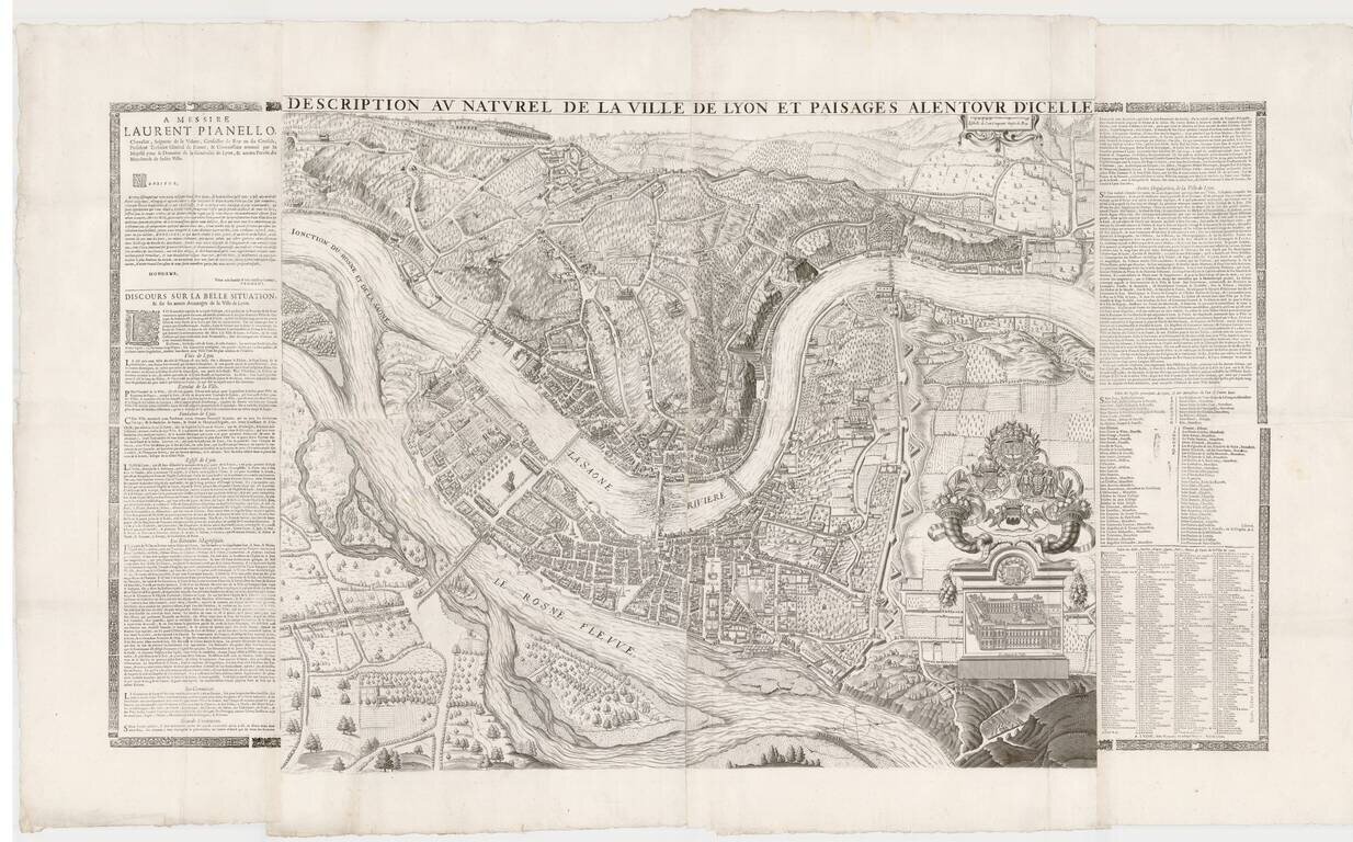
Remarkable large format plan of Lyon, first published in 1659 by Simon Maupin.
The first edition of the map included a different coat of arms, which was modified in 1694. The present example has been reissued following the death of Louis XIV, in order to add a monument and square, "Place de Louis Le Grande," in honor of Louis XIV.
Maupan's plan of Lyon was engraved by Guigou, a printmaker known for his frontispieces and illustrations. The map was printed for the first time in 1659 by Francois de Masso, engraver and printer working for Ru Mercière in Lyon. Both Maupin and de Masso received handsome bonuses for the production of this grand work.
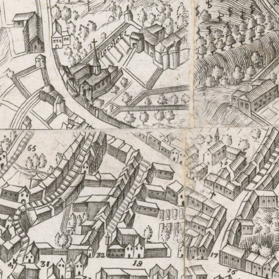
Engraved on four copper plates, the map is dedicated to the Provost (Mayor) of Lyon, Francois Baillon, and includes commentary provided on the upper part and an extensive key.
The plan was first revised extensively in 1694 or 1695. The date can be determined from the reference to Mr. Fléchères, former Lieutenant General in the Seneschal and Présidial headquarters in Lyon. Mathieu de Sève, Fléchères Baron, served as provost in 1694 and 1695.
The map was again revised in 1714, adding a statute of Louis XIV in Place Bellecour.
collections.bm-lyon.fr/PER0044ae55c2585ed9
Simon Maupin is generally known for his architectural work, especially the construction in 1646 of the new Hotel in Lyon. However, little is known about the life of the man, who first appeared in Lyon's official records in 1623. Maupin produced several important regional maps and his 1625 view of Lyon is considered one of the great topographical masterpieces of the 17th Century.
Maupin is referred to as a "painter, architect and engineer of the king". The engineer of the king, whose role was not permanent, was then employed by the generality of Lyon and depended in this respect of the Superintendent of Fortifications or the governor of the province. He especially implement security projects. Thus, not as voyer, in the city he designed a monumental door on the halfpipe Villeroy to the Croix-Rousse, or he directed the embankments on the left bank of the Rhone.
On June 9, 1637 Maupin, who until then had not been directly engaged in the service of the city, was called to the functions of voyer of the City of Lyon. The voyer was a municipal officer responsible for the maintenance of public roads, fountains, fortifications and, in general, all municipal buildings. Maupin served as voyer for twenty-four years.
If you are a student, write to us in telegram: @antiquemaps and indicate what material you need and for what work you need a map in high detail. We are ready to provide material on special terms. For students only!
![Carte d'Etude [Study Map]](/map/small/66795.jpg)
![Orange [Vauban Style Fortress]](/map/small/62043.jpg)
