Map size in jpg-format: 8.92083MiB
Click to open in high resolution (open in new tab).
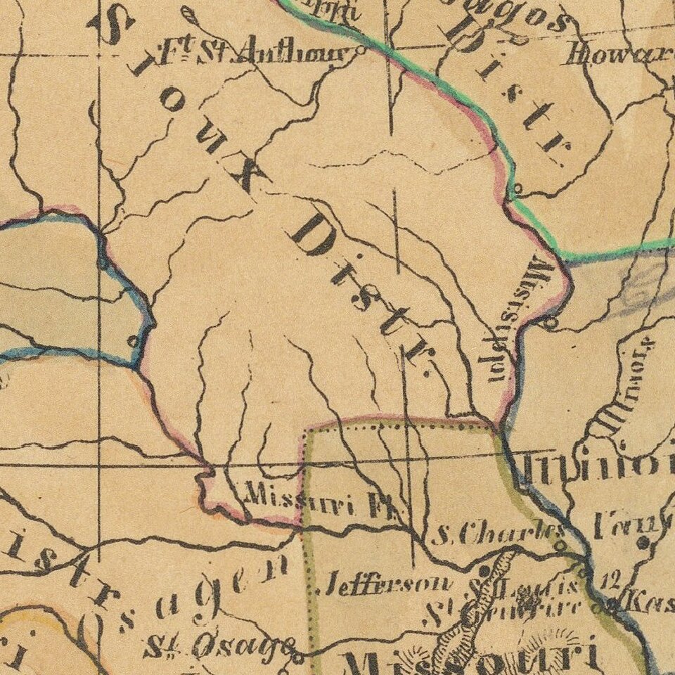
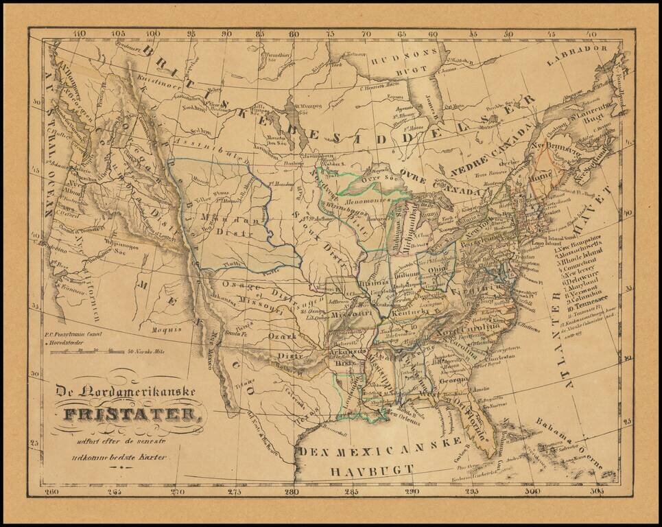
Illustrating Norwegian Settlements In Illinois
Rare Norwegian map of the United States from Coast to Coast, published in the first part of the 19th Century.
The map almost certainly relates to the promotion of Norwegian settlement near Kaskassias (Kaskaskia) in Southwestern Illinois.
The map has an number of interesting features, which give clues to its dating:
Rarity
The map is apparently unrecorded.
If you are a student, write to us in telegram: @antiquemaps and indicate what material you need and for what work you need a map in high detail. We are ready to provide material on special terms. For students only!

![[Signed Political Satire Artwork] Vietnam ... Vietnam ... Vietnam ...](/map/small/68726.jpg)
