logo

1855. Crossing of the Chowchillas River

  • Crossing of the Chowchillas River

Crossing of the Chowchillas River information:

Year of creation: 
Resolution size (pixels): 
 6467x4689 px
Disk Size: 
 5.71534MiB
Number of pages: 
 1
Place: 
 Washington

Print information. Print size (Width x height in inches):
Printing at 72 dpi 
  89.82 х 65.13
Printing at 150 dpi 
 43.11 х 31.26
Printing at 300 dpi 
 21.56 х 15.63

An example of detailing the file of this map of in a printable high-resolution:

Click to open in high resolution (open in new tab).
Attention! this is just the central piece (central area 960x960 px) of the map file!
This is an example, so that you can see and study the level of detail of a given map. The entire Map will be fully available after payment!

Crossing of the Chowchillas River

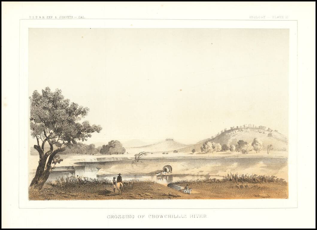
Interesting depiction of a crossing of the Chowchilla River, in Central California.

The Chowchilla River is a river in Central California and a minor tributary of the San Joaquin River. It flows for 65 miles from the western side of the Sierra Nevada Range to the San Joaquin River system. Most of the lower half of the river forms the border between Merced and Madera County.


Special conditions for students!

If you are a student, write to us in telegram: @antiquemaps and indicate what material you need and for what work you need a map in high detail. We are ready to provide material on special terms. For students only!

Item information:

Year of creation:
Size:
6467x4689 px
Disk:
5.71534MiB
Number of pages:
1
Place:
Washington
Author:
U.S. Pacific RR Surveys.
$14.99

Related item