logo

1700. Como . . .

  • Como . . .

Map size in jpg-format: 570888B

Download "Como . . .", in high resolution.

Como . . . information:

Year of creation: 
Resolution size (pixels): 
 2084x1423 px
Disk Size: 
 570888B
Number of pages: 
 1
Place: 
 Augsburg
Author: 

Print information. Print size (Width x height in inches):
Printing at 72 dpi 
  28.94 х 19.76
Printing at 150 dpi 
 13.89 х 9.49
Printing at 300 dpi 
 6.95 х 4.74

An example of detailing the file of this map of in a printable high-resolution:

Click to open in high resolution (open in new tab).
Attention! this is just the central piece (central area 960x960 px) of the map file!
This is an example, so that you can see and study the level of detail of a given map. The entire Map will be fully available after payment!

Como . . .

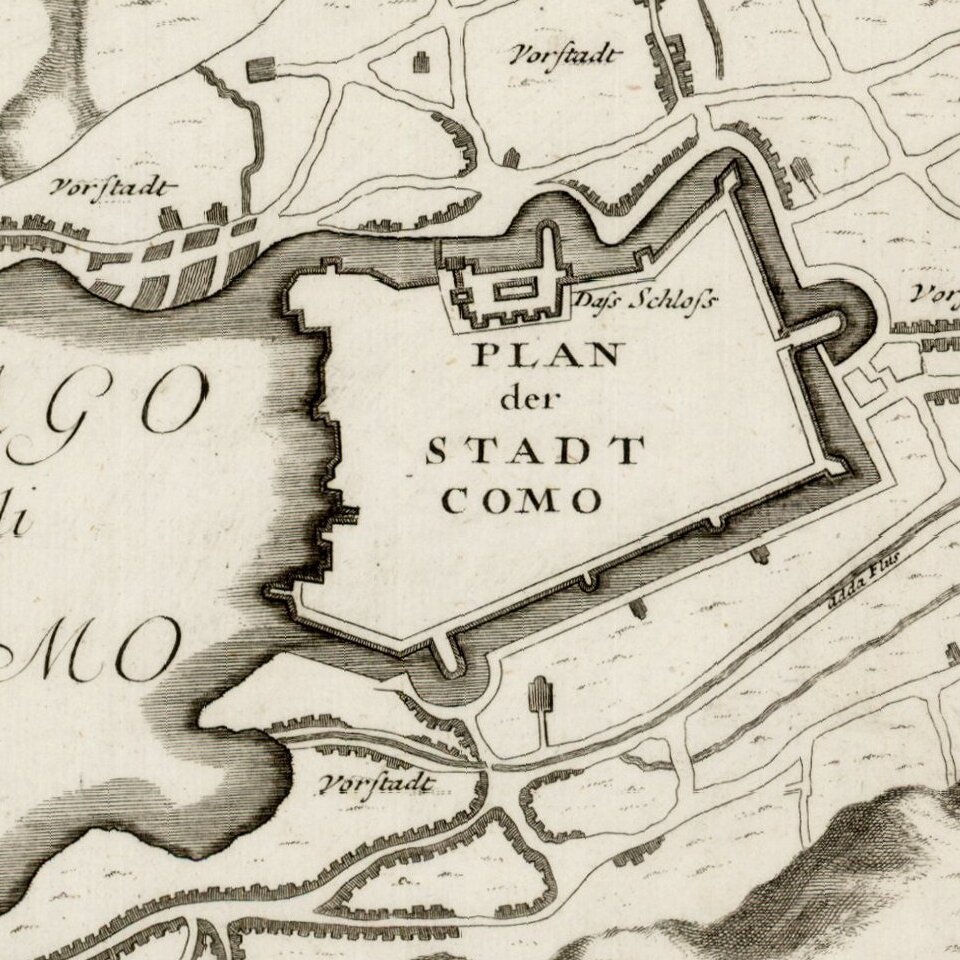
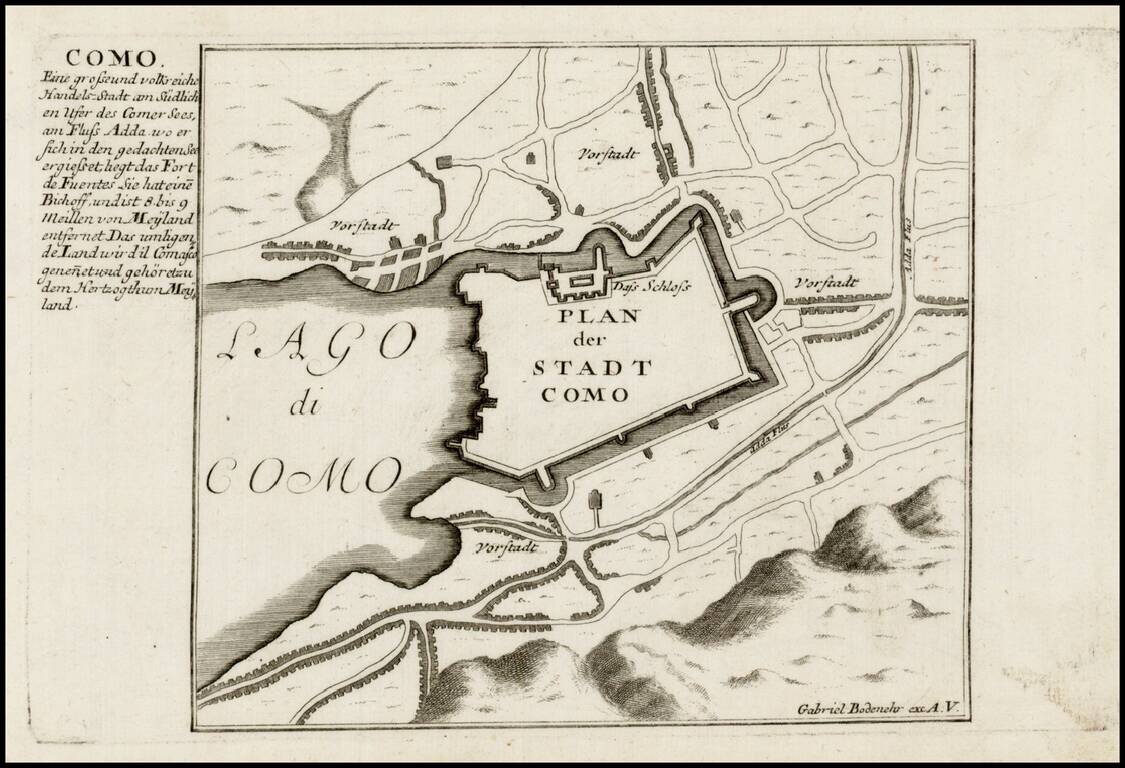
Detailed view and plan of the fortifications of the town of Como on the edge of Lago di Como, published by Gabriel Bodenehr.

Gabriel Bodenehr the Elder (ca. 1673-ca. 1766) was a German engraver and publisher. He originated views of many German cities, for example the first plan of Passau (1710), and is best known for his Atlas Curieux (1704). His son, Gabriel the Younger (1705-1779), followed his father in his profession and was also a well-known engraver. 


Special conditions for students!

If you are a student, write to us in telegram: @antiquemaps and indicate what material you need and for what work you need a map in high detail. We are ready to provide material on special terms. For students only!

Item information:

Year of creation:
Size:
2084x1423 px
Disk:
570888B
Number of pages:
1
Place:
Augsburg
Author:
Gabriel Bodenehr.
$9.99

Related item