Map size in jpg-format: 38.3309MiB
Click to open in high resolution (open in new tab).

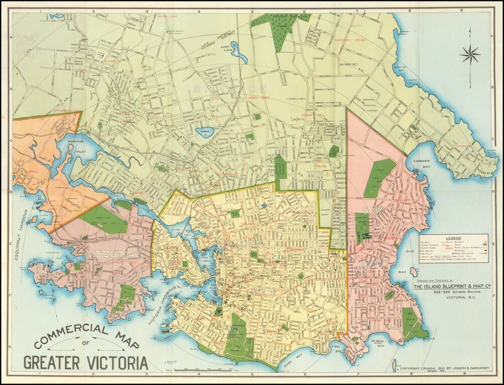
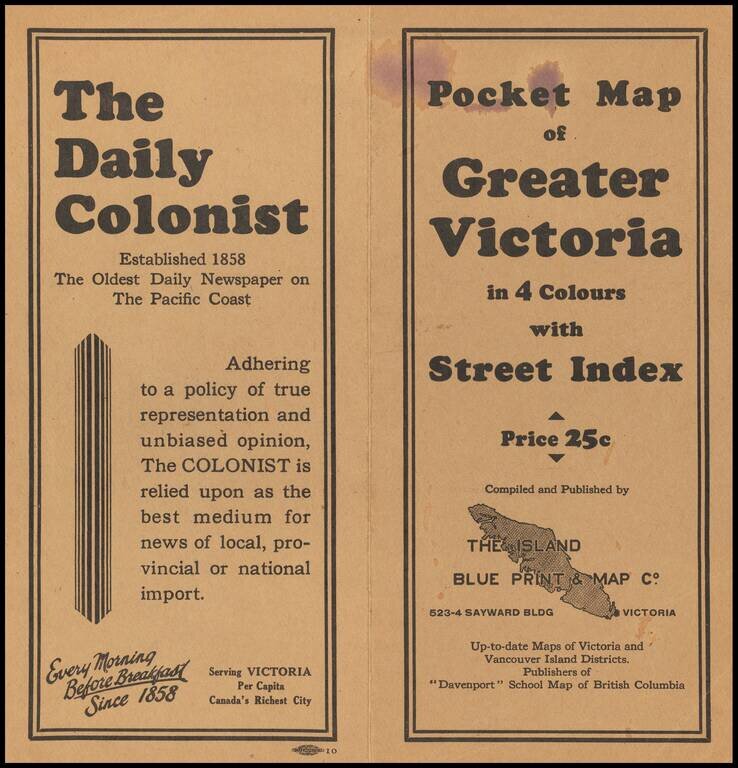
Detailed separately published map of Victoria, British Columbia, published by the Island Blueprint & Map Company.
Shows railways, streetcar and bus lines, schools, fire halls, post offices and selected holdings.
This is the second edition of the map, first issued in 1921. Later editions were issued in 1944, 1946, 1957 and 1969.
If you are a student, write to us in telegram: @antiquemaps and indicate what material you need and for what work you need a map in high detail. We are ready to provide material on special terms. For students only!

![Amer. Sep. No. 33. Partie De La Nouvelle Bretagne (Upper Missouri River, Lake Winnepeg, Lake of the Woods and Saskatehawan River]](/map/small/41687.jpg)
