Map size in jpg-format: 26.2806MiB
Click to open in high resolution (open in new tab).
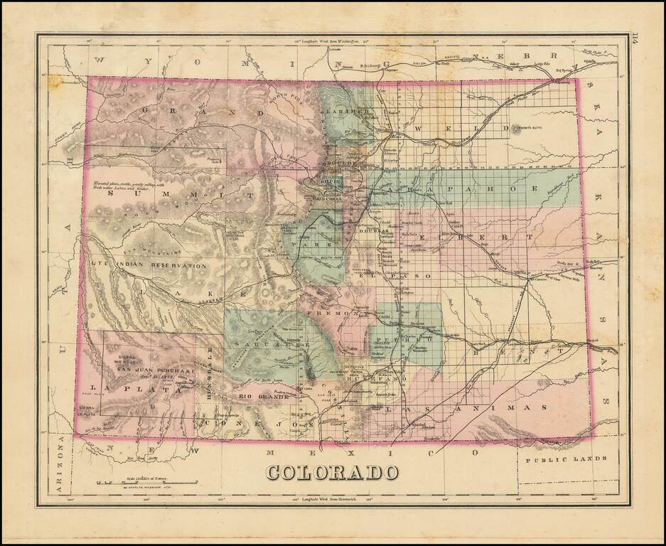
Interesting early map of Colorado, colored by counties.
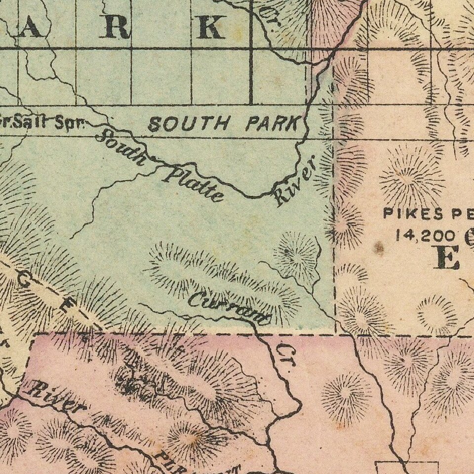
Shows towns, rivers, lakes, roads, mountains, and other details.
In Southwestern Colorado, there is still no evidence of the coming mining boom which would be centered in areas such as Silverton, Ouray and Durango. Predates a number of Southeastern Counties, including Montrose, Ouray, Dolores and San Juan Counties.
Includes a large area of Lake County labeled as Ute Indian Reservation.
O. W. Gray was a publishing firm based in Philadelphia. Later, they published as O. W. Gray & Son. They published atlases in the late nineteenth century. Gray's National Atlas was one of the most successful commercial ventures of the 1870s and one of the last to employ hand coloring on maps.
If you are a student, write to us in telegram: @antiquemaps and indicate what material you need and for what work you need a map in high detail. We are ready to provide material on special terms. For students only!
![Mexique par Th. Duvotenay…1843 [Republic of Texas]](/map/small/67925.jpg)
