Map size in jpg-format: 84.9351MiB
Click to open in high resolution (open in new tab).
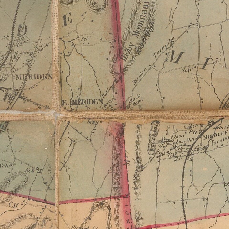
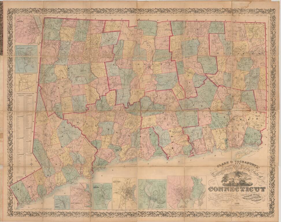
One of the Most Impressive and Decorative Maps of Connecticut, Here in the Desirable Folding Map Format.
Hand-colored lithographed folding map of Connecticut, the most detailed and authoritative map of the state of its time. It includes topographical detail, is hand-colored by township and county, and shows railroads as well.
The map was compiled from surveys by G. M. Hopkins, the Philadelphia-based surveyor. Richard Clark was responsible for several other Connecticut maps of counties and towns. The first edition of the present map was published in 1859.
The map is enhanced with nine inset plans: Middletown, Waterbury, Stamford, New Haven, Norwich, Hartford, Bridgeport, New London, and Norwalk.
If you are a student, write to us in telegram: @antiquemaps and indicate what material you need and for what work you need a map in high detail. We are ready to provide material on special terms. For students only!