Map size in jpg-format: 1.09468MiB
Click to open in high resolution (open in new tab).
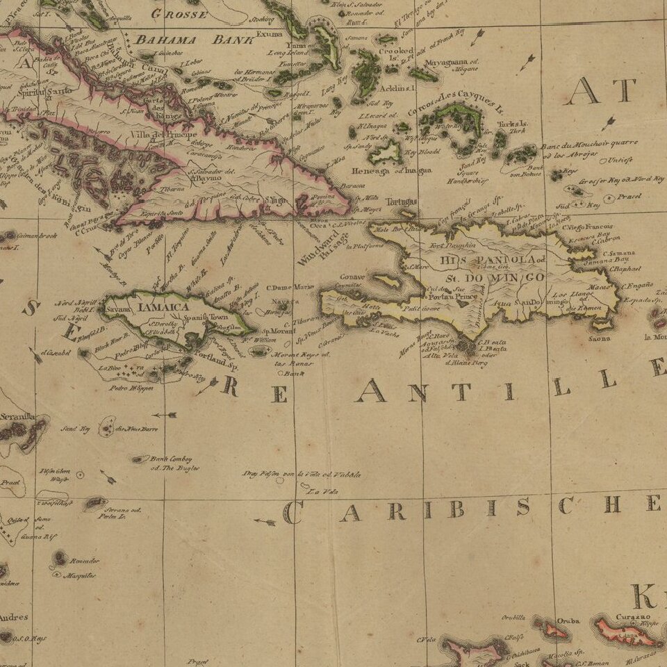
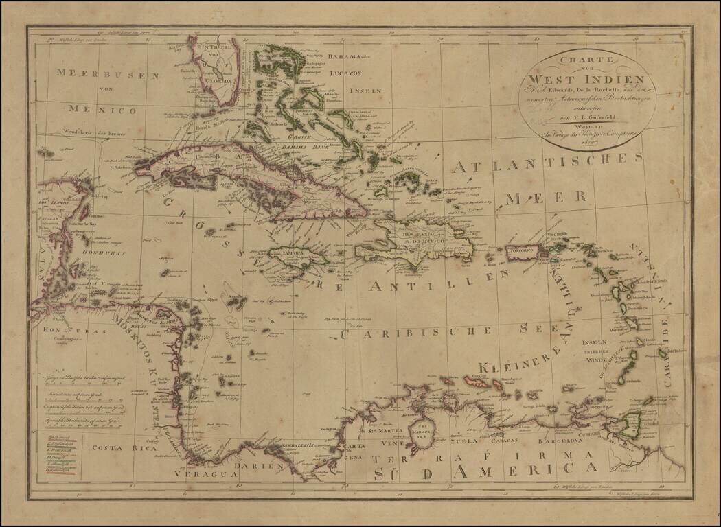
Rare edition of Gussefeld's map of South Florida, the Caribbean and coastlines of Central America.
The map would be updated and re-issued for at least the next 20 years, with corrections. A comparison of this edition to the 1816 edition which we previously posted, shows that this edition illustrates the flow of the Gulf Stream, but with fewer directional arrows than the later edition.
For a link to the 1796 edition, click here: /gallery/detail/16411
For a link to the 1816 edition, click here: /gallery/detail/16411
If you are a student, write to us in telegram: @antiquemaps and indicate what material you need and for what work you need a map in high detail. We are ready to provide material on special terms. For students only!


![[The First Maps in a la poupée Printed Color] Cartes en Couleur des Lieux Sujets aux tremblements de Terre Dans toutes les parties du Monde Selon le Sisteme de l’impulsion Solaire](/map/small/52293op.jpg)