logo

1803. Charte von Kroatien: enthaltend die Agramer, Warasdiner und Kreutzer Gefpannschaft: nebst dem Karlstädter und Warasdiner, Generalat, dem Bannal und dem Seebezirk / gezeichnet von Karl Joseph Kipferling

  • Charte von Kroatien: enthaltend die Agramer, Warasdiner und Kreutzer Gefpannschaft: nebst dem Karlstädter und Warasdiner, Generalat, dem Bannal und dem Seebezirk / gezeichnet von Karl Joseph Kipferling

Charte von Kroatien: enthaltend die Agramer, Warasdiner und Kreutzer Gefpannschaft: nebst dem Karlstädter und Warasdiner, Generalat, dem Bannal und dem Seebezirk / gezeichnet von Karl Joseph Kipferling information:

Year of creation: 
Resolution size (pixels): 
 15970x13570 px
Disk Size: 
 32.2791MiB
Number of pages: 
 1
Place: 
 Vienna

Print information. Print size (Width x height in inches):
Printing at 72 dpi 
  221.81 х 188.47
Printing at 150 dpi 
 106.47 х 90.47
Printing at 300 dpi 
 53.23 х 45.23

An example of detailing the file of this map of in a printable high-resolution:

Click to open in high resolution (open in new tab).
Attention! this is just the central piece (central area 960x960 px) of the map file!
This is an example, so that you can see and study the level of detail of a given map. The entire Map will be fully available after payment!

Charte von Kroatien: enthaltend die Agramer, Warasdiner und Kreutzer Gefpannschaft: nebst dem Karlstädter und Warasdiner, Generalat, dem Bannal und dem Seebezirk / gezeichnet von Karl Joseph Kipferling

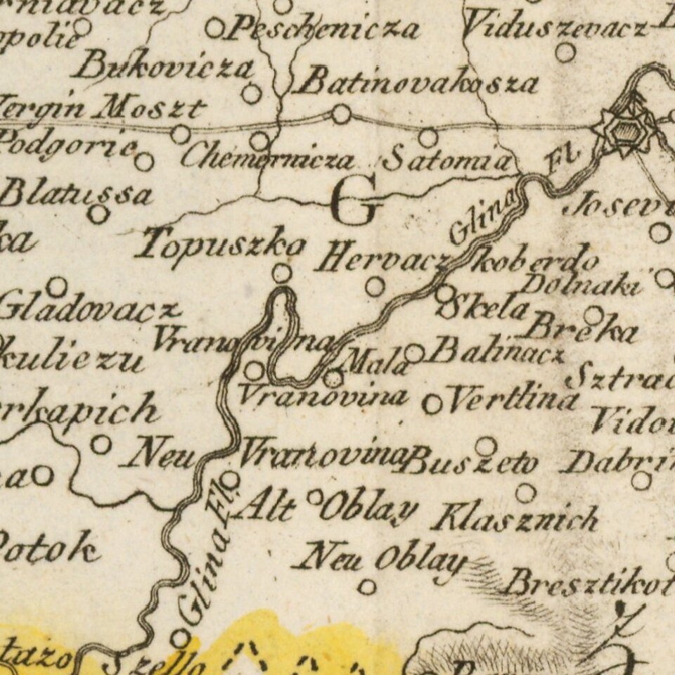
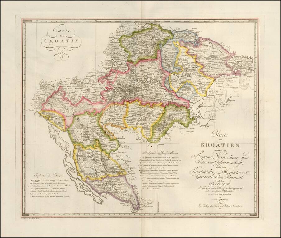
Fine large format map of Croatia and Krajina, which appeared in Kipferling's rare Atlas des Österreichischen Kaiserthums, published in by the Kunst und Industrie Comptoirs in Vienna in 1805.

The map was issued shortly after the Venetian Republic in 1797, with its possessions in eastern Adriatic becoming the subject of dispute between France and Austria. The Habsburgs eventually secured them (by 1815) and Dalmatia and Istria became part of the Austrian empire, while Croatia and Slavonia were under Hungary.

The borders of Zagreb, Varaždin and Križevci are marked, as well as Primorye, the Generalate of Varaždin and Karlovac, the Banuskrajina and their regiments, which formed the Croatian military Krajina.

In the lower left corner of the map the engraver Franz Thade Müller is credited.


Special conditions for students!

If you are a student, write to us in telegram: @antiquemaps and indicate what material you need and for what work you need a map in high detail. We are ready to provide material on special terms. For students only!

Item information:

Year of creation:
Size:
15970x13570 px
Disk:
32.2791MiB
Number of pages:
1
Place:
Vienna
Author:
Karl Joseph Kipferling.
$14.99

Related item