Map size in jpg-format: 73.231MiB
Click to open in high resolution (open in new tab).
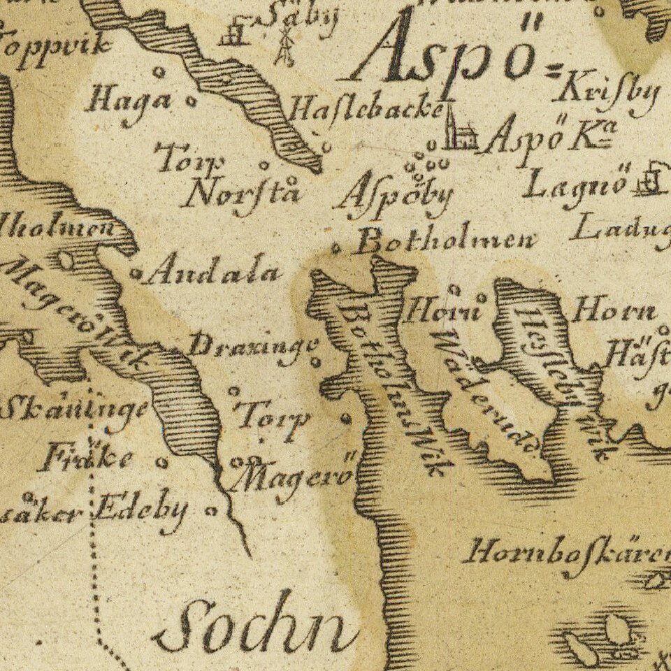
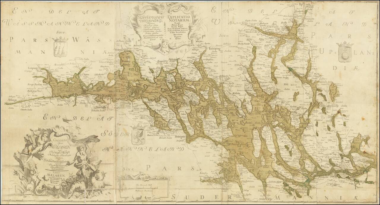
Detailed and scarce antique Swedish map of the region around Stockholm and to its north and west.
The map extends from Arboga in the west to Björknäs in the east; in the southwest, the map extends to Mariefred, in the northeast, it extends to Upsala.
On the right side of the map, the coat of arms of Uppland is featured. On the left, the coat of arms of Westmannia (Västmanland) is illustrated. At the bottom of the map is the coat of arms of Södermanland.
The map's engraver, Erik Geringius, lived from 1707-1747. He was one of the most important Swedish engravers during the first half of the 18th century.
Rarity
We locate copies at the National Archives Upsulla (Sweden), Royal Danish Library, and Aargauer Kantonsbibliothek (Switzerland)
If you are a student, write to us in telegram: @antiquemaps and indicate what material you need and for what work you need a map in high detail. We are ready to provide material on special terms. For students only!