logo

1814. Chart of the West Indies From the latest Marine Journals and Surveys

  • Chart of the West Indies From the latest Marine Journals and Surveys

Chart of the West Indies From the latest Marine Journals and Surveys information:

Year of creation: 
Resolution size (pixels): 
 6649x5372 px
Disk Size: 
 4.1933MiB
Number of pages: 
 1
Place: 
 Philadelphia
Author: 

Print information. Print size (Width x height in inches):
Printing at 72 dpi 
  92.35 х 74.61
Printing at 150 dpi 
 44.33 х 35.81
Printing at 300 dpi 
 22.16 х 17.91

An example of detailing the file of this map of in a printable high-resolution:

Click to open in high resolution (open in new tab).
Attention! this is just the central piece (central area 960x960 px) of the map file!
This is an example, so that you can see and study the level of detail of a given map. The entire Map will be fully available after payment!

Chart of the West Indies From the latest Marine Journals and Surveys

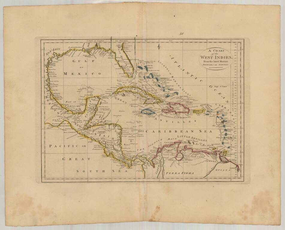
Interesting general map of the Caribbean, published by Matthew Carey in his General Atlas.


Special conditions for students!

If you are a student, write to us in telegram: @antiquemaps and indicate what material you need and for what work you need a map in high detail. We are ready to provide material on special terms. For students only!

Item information:

Year of creation:
Size:
6649x5372 px
Disk:
4.1933MiB
Number of pages:
1
Place:
Philadelphia
Author:
Mathew Carey.
$14.99

Related item