logo

1857. Central America

  • Central America

Map size in jpg-format: 18.034MiB

Download "Central America", in high resolution.

Central America information:

Year of creation: 
Resolution size (pixels): 
 9961x8132 px
Disk Size: 
 18.034MiB
Number of pages: 
 1
Place: 
 New York
Author: 

Print information. Print size (Width x height in inches):
Printing at 72 dpi 
  138.35 х 112.94
Printing at 150 dpi 
 66.41 х 54.21
Printing at 300 dpi 
 33.2 х 27.11

An example of detailing the file of this map of in a printable high-resolution:

Click to open in high resolution (open in new tab).
Attention! this is just the central piece (central area 960x960 px) of the map file!
This is an example, so that you can see and study the level of detail of a given map. The entire Map will be fully available after payment!

Central America

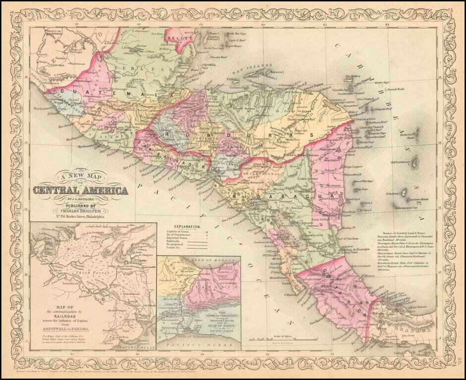
Detailed map of Central America, colored by country and states, with insets of the Railroad across the Isthmus of Darien and The Isthmus of Tehuantepec.

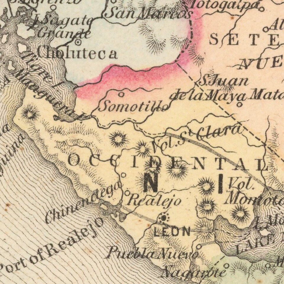
Text annotations and other interesting details are noted.


Special conditions for students!

If you are a student, write to us in telegram: @antiquemaps and indicate what material you need and for what work you need a map in high detail. We are ready to provide material on special terms. For students only!

Item information:

Year of creation:
Size:
9961x8132 px
Disk:
18.034MiB
Number of pages:
1
Place:
New York
Author:
Charles Desilver.
$14.99

Related item