logo

1700. Carte Nouvelle du Territoire de Verone levee pare ordre expres. a l'Usage des Armees en Italie; ou sont Exactement Marques les Grands Chemins, les Routes des Imperiaux &c.

  • Carte Nouvelle du Territoire de Verone levee pare ordre expres. a l'Usage des Armees en Italie; ou sont Exactement Marques les Grands Chemins, les Routes des Imperiaux &c.

Carte Nouvelle du Territoire de Verone levee pare ordre expres. a l'Usage des Armees en Italie; ou sont Exactement Marques les Grands Chemins, les Routes des Imperiaux &c. information:

Year of creation: 
Resolution size (pixels): 
 16007x14005 px
Disk Size: 
 35.8943MiB
Number of pages: 
 1
Place: 
 Amsterdam
Author: 

Print information. Print size (Width x height in inches):
Printing at 72 dpi 
  222.32 х 194.51
Printing at 150 dpi 
 106.71 х 93.37
Printing at 300 dpi 
 53.36 х 46.68

An example of detailing the file of this map of in a printable high-resolution:

Click to open in high resolution (open in new tab).
Attention! this is just the central piece (central area 960x960 px) of the map file!
This is an example, so that you can see and study the level of detail of a given map. The entire Map will be fully available after payment!

Carte Nouvelle du Territoire de Verone levee pare ordre expres. a l'Usage des Armees en Italie; ou sont Exactement Marques les Grands Chemins, les Routes des Imperiaux &c.

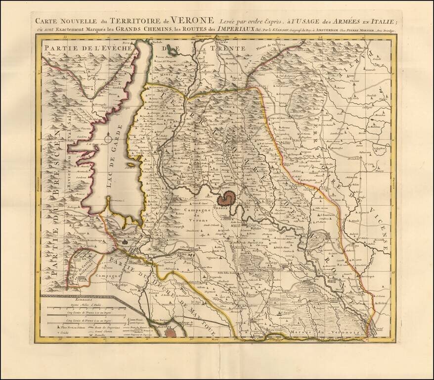
Detailed map centered on Verona, Italy. Published in Amsterdam, circa 1700.

The map illustrates roads, lakes, mountain ranges, and plains the armees traveled through the region. Lago Di Garda is prominently featured along with the mountain ranges of Brescia. The city of Mantua is detailed southwest of Verona. Vicenza is featured to the east.

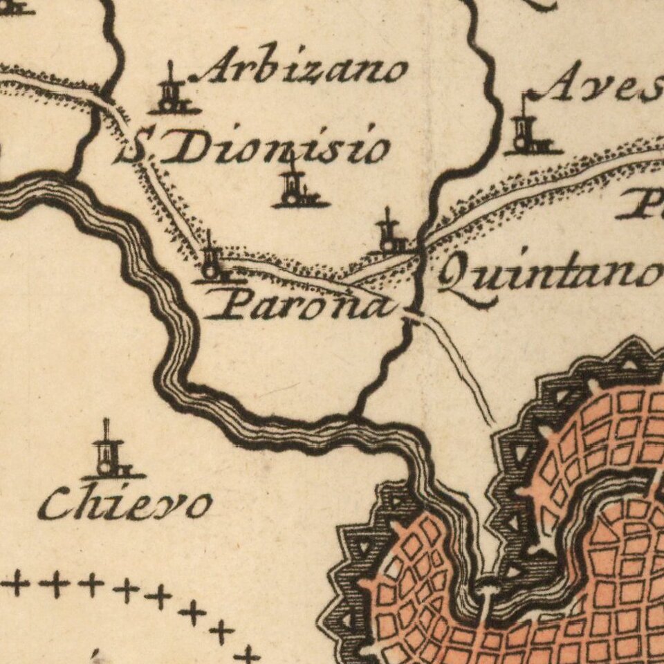
The map notes churches, forts, chateaus, schools, and the locations of attacks. A scale of distance is also included at the bottom of the map.

Pierre, or Pieter, Mortier (1661-1711) was a Dutch engraver, son of a French refugee. He was born in Leiden. In 1690 he was granted a privilege to publish French maps in Dutch lands. In 1693 he released the first and accompanying volume of the Neptune Francois. The third followed in 1700. His son, Cornelis (1699-1783), would partner with Johannes Covens I, creating one of the most important map publishing companies of the eighteenth century.


Special conditions for students!

If you are a student, write to us in telegram: @antiquemaps and indicate what material you need and for what work you need a map in high detail. We are ready to provide material on special terms. For students only!

Item information:

Year of creation:
Size:
16007x14005 px
Disk:
35.8943MiB
Number of pages:
1
Place:
Amsterdam
Author:
Pieter Mortier.
$14.99

Related item