logo

1700. Carte nouvelle du Duche et Legation de Ferrare a l'eglise: levee pare ordre expres. A l'usage des Armees en Italie; ou font Exactement Marques les Grands Chemins, les Routes des Imperiaux &c. Par le Sr. Sanson Geograp du Roy.

  • Carte nouvelle du Duche et Legation de Ferrare a l'eglise: levee pare ordre expres. A l'usage des Armees en Italie; ou font Exactement Marques les Grands Chemins, les Routes des Imperiaux &c. Par le Sr. Sanson Geograp du Roy.

Carte nouvelle du Duche et Legation de Ferrare a l'eglise: levee pare ordre expres. A l'usage des Armees en Italie; ou font Exactement Marques les Grands Chemins, les Routes des Imperiaux &c. Par le Sr. Sanson Geograp du Roy. information:

Year of creation: 
Resolution size (pixels): 
 17721x13907 px
Disk Size: 
 38.3531MiB
Number of pages: 
 1
Place: 
 Amsterdam
Author: 

Print information. Print size (Width x height in inches):
Printing at 72 dpi 
  246.13 х 193.15
Printing at 150 dpi 
 118.14 х 92.71
Printing at 300 dpi 
 59.07 х 46.36

An example of detailing the file of this map of in a printable high-resolution:

Click to open in high resolution (open in new tab).
Attention! this is just the central piece (central area 960x960 px) of the map file!
This is an example, so that you can see and study the level of detail of a given map. The entire Map will be fully available after payment!

Carte nouvelle du Duche et Legation de Ferrare a l'eglise: levee pare ordre expres. A l'usage des Armees en Italie; ou font Exactement Marques les Grands Chemins, les Routes des Imperiaux &c. Par le Sr. Sanson Geograp du Roy.

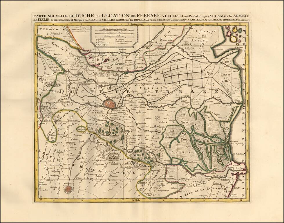
Detailed map of the Duchy of Ferrara in Italy.

Includes major roads, pathways, and valleys the Italian and French armees used to navigate through the region. The map also illustrates fortified zones in Ferrare and Bologna.

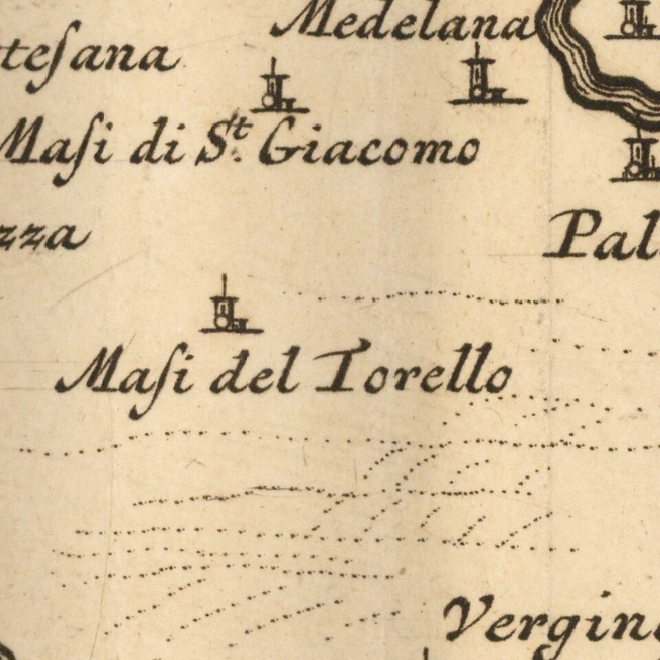
The map features churches, chateaus, agricultural areas, lakes, universities, etc. Also includes a scale of distance at the top center of the map.

Published in Amersterdam circa 1700.

Pierre, or Pieter, Mortier (1661-1711) was a Dutch engraver, son of a French refugee. He was born in Leiden. In 1690 he was granted a privilege to publish French maps in Dutch lands. In 1693 he released the first and accompanying volume of the Neptune Francois. The third followed in 1700. His son, Cornelis (1699-1783), would partner with Johannes Covens I, creating one of the most important map publishing companies of the eighteenth century.


Special conditions for students!

If you are a student, write to us in telegram: @antiquemaps and indicate what material you need and for what work you need a map in high detail. We are ready to provide material on special terms. For students only!

Item information:

Year of creation:
Size:
17721x13907 px
Disk:
38.3531MiB
Number of pages:
1
Place:
Amsterdam
Author:
Pieter Mortier.
$14.99

Related item