logo

1700. Carte Nouvelle du Duche de Modene, de Regio et de Capri; avec la Seigneurie de la Cafargana &c: Levee par ordre expres a L'Usage des Armees en Italie, ou sont Exactement Marques les Grands Chemins, les Routes des Imperiaux &c. par le Sr. Sanson, Geograph.

  • Carte Nouvelle du Duche de Modene, de Regio et de Capri; avec la Seigneurie de la Cafargana &c: Levee par ordre expres a L'Usage des Armees en Italie, ou sont Exactement Marques les Grands Chemins, les Routes des Imperiaux &c. par le Sr. Sanson, Geograph.

Carte Nouvelle du Duche de Modene, de Regio et de Capri; avec la Seigneurie de la Cafargana &c: Levee par ordre expres a L'Usage des Armees en Italie, ou sont Exactement Marques les Grands Chemins, les Routes des Imperiaux &c. par le Sr. Sanson, Geograph. information:

Year of creation: 
Resolution size (pixels): 
 16078x13464 px
Disk Size: 
 35.6127MiB
Number of pages: 
 1
Place: 
 Amsterdam
Author: 

Print information. Print size (Width x height in inches):
Printing at 72 dpi 
  223.31 х 187
Printing at 150 dpi 
 107.19 х 89.76
Printing at 300 dpi 
 53.59 х 44.88

An example of detailing the file of this map of in a printable high-resolution:

Click to open in high resolution (open in new tab).
Attention! this is just the central piece (central area 960x960 px) of the map file!
This is an example, so that you can see and study the level of detail of a given map. The entire Map will be fully available after payment!

Carte Nouvelle du Duche de Modene, de Regio et de Capri; avec la Seigneurie de la Cafargana &c: Levee par ordre expres a L'Usage des Armees en Italie, ou sont Exactement Marques les Grands Chemins, les Routes des Imperiaux &c. par le Sr. Sanson, Geograph.

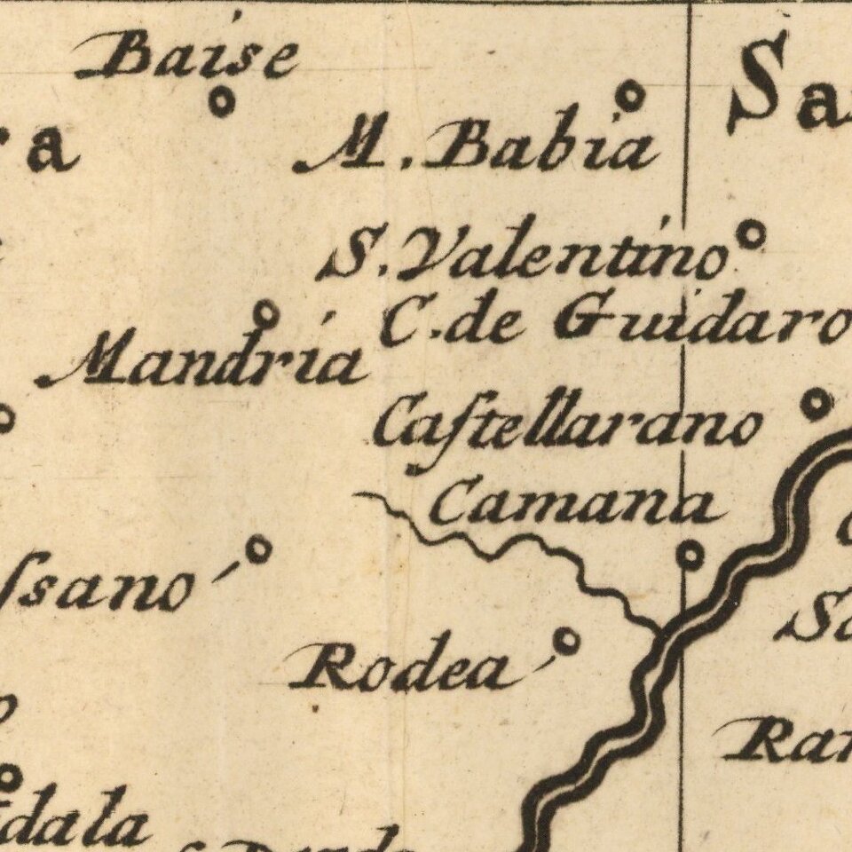
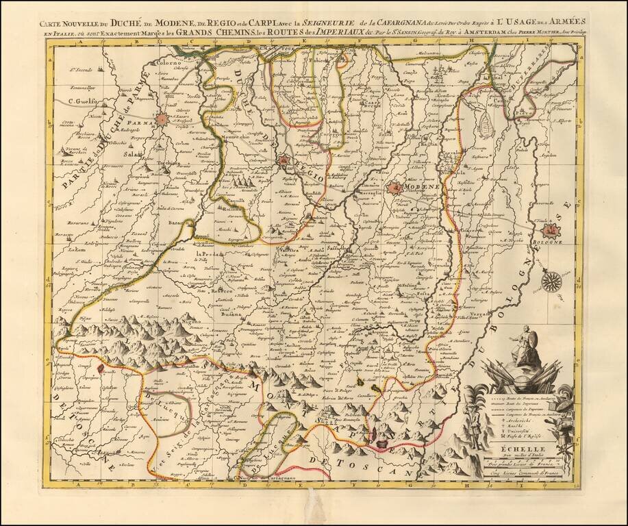
Map showing the Duchy of Modena, Reggio and Carpi in northern Italy, illustrating the roads and pathways utilized by the Italian and French armies throughout the region. The map highlights key fortified zones in and around Modena, Reggio, Parma, and Bologna and illustrates the mountainous regions above Tuscany the armies traveled through. Shows churches, universities, chateaus, lakes, and forests.

Includes an orate cartouche with scale of distances and a directional compass.

Pierre, or Pieter, Mortier (1661-1711) was a Dutch engraver, son of a French refugee. He was born in Leiden. In 1690 he was granted a privilege to publish French maps in Dutch lands. In 1693 he released the first and accompanying volume of the Neptune Francois. The third followed in 1700. His son, Cornelis (1699-1783), would partner with Johannes Covens I, creating one of the most important map publishing companies of the eighteenth century.


Special conditions for students!

If you are a student, write to us in telegram: @antiquemaps and indicate what material you need and for what work you need a map in high detail. We are ready to provide material on special terms. For students only!

Item information:

Year of creation:
Size:
16078x13464 px
Disk:
35.6127MiB
Number of pages:
1
Place:
Amsterdam
Author:
Pieter Mortier.
$14.99

Related item