logo

1798. Carte Generale Et Politique De L'Amerique . . . An VI

  • Carte Generale Et Politique De L'Amerique . . .  An VI

Carte Generale Et Politique De L'Amerique . . . An VI information:

Year of creation: 
Resolution size (pixels): 
 11471x9095 px
Disk Size: 
 24.2624MiB
Number of pages: 
 1
Place: 
 Paris

Print information. Print size (Width x height in inches):
Printing at 72 dpi 
  159.32 х 126.32
Printing at 150 dpi 
 76.47 х 60.63
Printing at 300 dpi 
 38.24 х 30.32

An example of detailing the file of this map of in a printable high-resolution:

Click to open in high resolution (open in new tab).
Attention! this is just the central piece (central area 960x960 px) of the map file!
This is an example, so that you can see and study the level of detail of a given map. The entire Map will be fully available after payment!

Carte Generale Et Politique De L'Amerique . . .  An VI

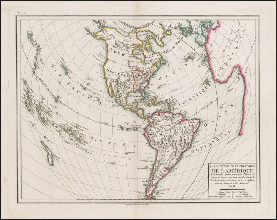
Detailed map of America, with the United States outlined in red, published in the Sixth Year of the First French Republic.

The limited knowledge of the interior of North America and the Northwest Coast of America and Alaska are still quite evident.

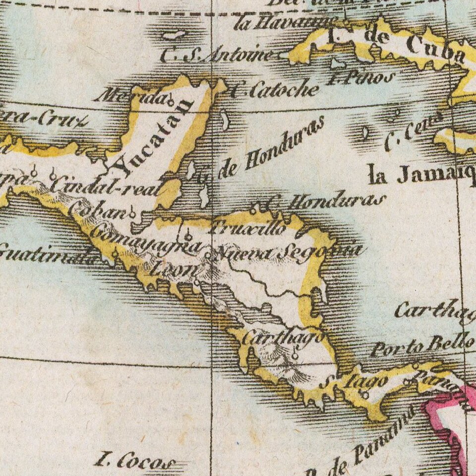
Includes nice detail throughout the map.


Special conditions for students!

If you are a student, write to us in telegram: @antiquemaps and indicate what material you need and for what work you need a map in high detail. We are ready to provide material on special terms. For students only!

Item information:

Year of creation:
Size:
11471x9095 px
Disk:
24.2624MiB
Number of pages:
1
Place:
Paris
Author:
Mentelle. Pierre-Gilles Chanlaire.
$14.99

Related item