Map size in jpg-format: 37.7253MiB
Click to open in high resolution (open in new tab).
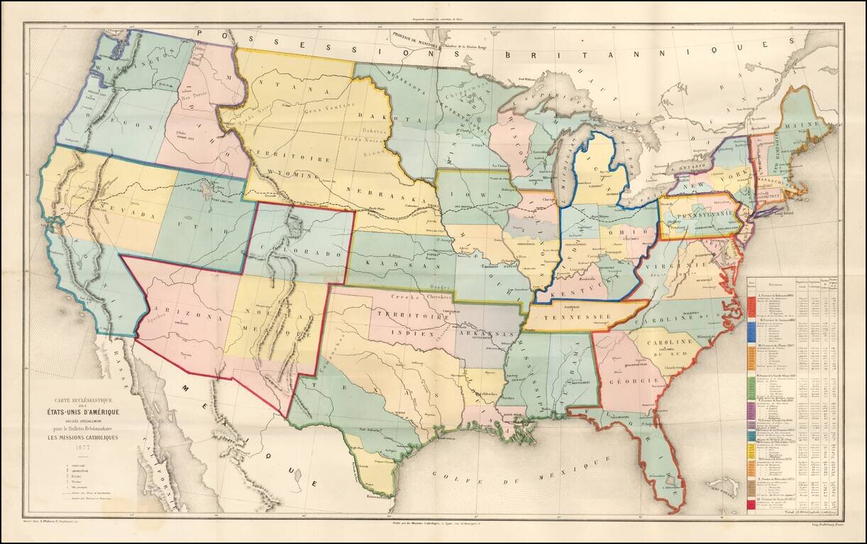
Rare large ecclesiastical map of the United States, focusing on the 11 Catholic Provinces in the United States.
Includes an extensive statistical table at the right side of the map.
The map shows the Catholic dioceses and bishops' residences, but not missions, on topographic base. Relief shown by hachures. "Supplement au Journal Les Missions Catholiques - 1877".
If you are a student, write to us in telegram: @antiquemaps and indicate what material you need and for what work you need a map in high detail. We are ready to provide material on special terms. For students only!

![[Signed Political Satire Artwork] Vietnam ... Vietnam ... Vietnam ...](/map/small/68726.jpg)
