Map size in jpg-format: 963400B
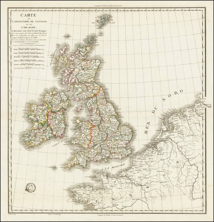
A handsome example of Vicq's rare engraved map of the British Isles, prepared during the Napoleonic Wars.
1st issue, 1st state. The Bibliotheque National de France has a later state (1808) which includes insets of Gibraltar and Portugal.
If you are a student, write to us in telegram: @antiquemaps and indicate what material you need and for what work you need a map in high detail. We are ready to provide material on special terms. For students only!


