Map size in jpg-format: 1.87634MiB
Click to open in high resolution (open in new tab).
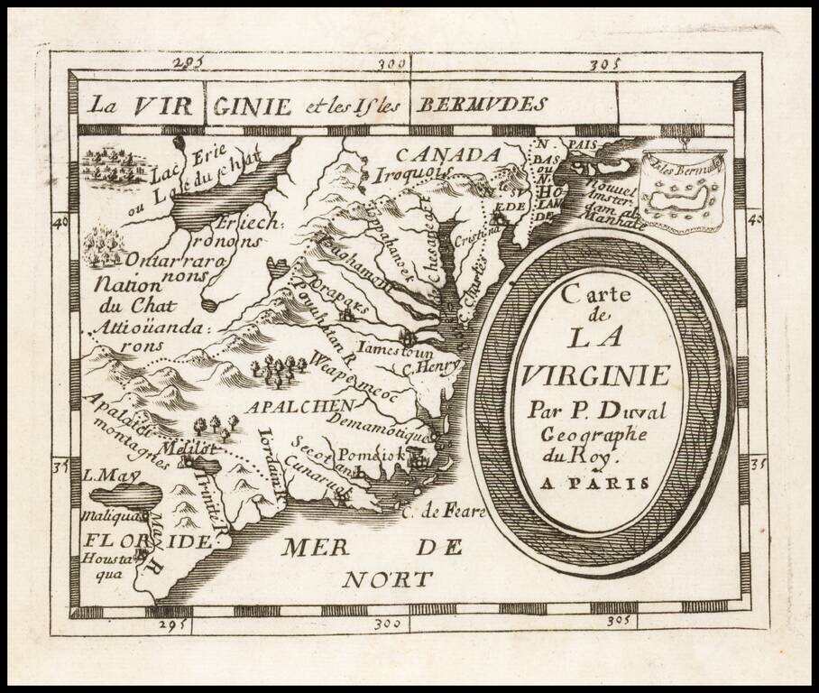
Early regional map from Duval's Le Monde Terrestre, first published in 1659, although no copy located pre-dates 1660.
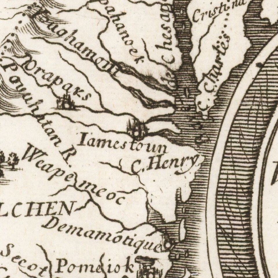
Includes an early depiction of the Chesapeake region, the mythical Lake May above Floride, Jamestown, Cape Henry, Secot, Pomeiok, an early reference to Manhattan and New Amsterdam and an inset of Bermuda.
This is the fourth state of the map. The states can be identified as follows:
If you are a student, write to us in telegram: @antiquemaps and indicate what material you need and for what work you need a map in high detail. We are ready to provide material on special terms. For students only!


![[The First Maps in a la poupée Printed Color] Cartes en Couleur des Lieux Sujets aux tremblements de Terre Dans toutes les parties du Monde Selon le Sisteme de l’impulsion Solaire](/map/small/52293op.jpg)