Map size in jpg-format: 11.4956MiB
Click to open in high resolution (open in new tab).
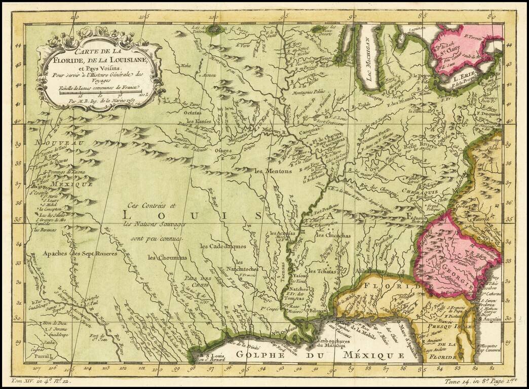
Rare Variant edition of Bellin's map of Mississippi River Valley and environs, with the name "Floride" in the title.
The normal title for this map is Carte De La Louisiane et Pays Voisins.
Fabulous map of most of the US, based upon De L'Isle's monumental map, centered on the Mississippi River.
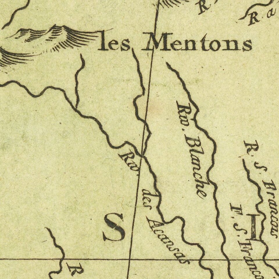
The map provides marvelous detail of the interior of the US on either side of the Mississippi, including the early French Forts. The exploration & settlement west of the Mississippi is also shown, including Forts, Native American Villages, and other place names. The map highlights the unknown region in Northern Texas & the Native American Territories, between the Mississippi and the Rio Grande. The first settlements west of New Orleans along the Gulf Coast and the interior of Texas are shown, along with the courses of a number of rivers.
Jacques-Nicolas Bellin (1703-1772) was among the most important mapmakers of the eighteenth century. In 1721, at age 18, he was appointed hydrographer (chief cartographer) to the French Navy. In August 1741, he became the first Ingénieur de la Marine of the Depot des cartes et plans de la Marine (the French Hydrographic Office) and was named Official Hydrographer of the French King.
During his term as Official Hydrographer, the Depot was the single most active center for the production of sea charts and maps, including a large folio format sea-chart of France, the Neptune Francois. He also produced a number of sea-atlases of the world, e.g., the Atlas Maritime and the Hydrographie Francaise. These gained fame, distinction, and respect all over Europe and were republished throughout the 18th and even in the succeeding century.
Bellin also came out with smaller format maps such as the 1764 Petit Atlas Maritime, containing 580 finely detailed charts. He also contributed many of the maps for Bellin and contributed a number of maps to the 15-volume Histoire Generale des Voyages of Antoine François Prévost or simply known l'Abbe Prevost.
Bellin set a very high standard of workmanship and accuracy, thus gaining for France a leading role in European cartography and geography. Many of his maps were copied by other mapmakers of Europe.
If you are a student, write to us in telegram: @antiquemaps and indicate what material you need and for what work you need a map in high detail. We are ready to provide material on special terms. For students only!


