Map size in jpg-format: 14.3353MiB
Click to open in high resolution (open in new tab).
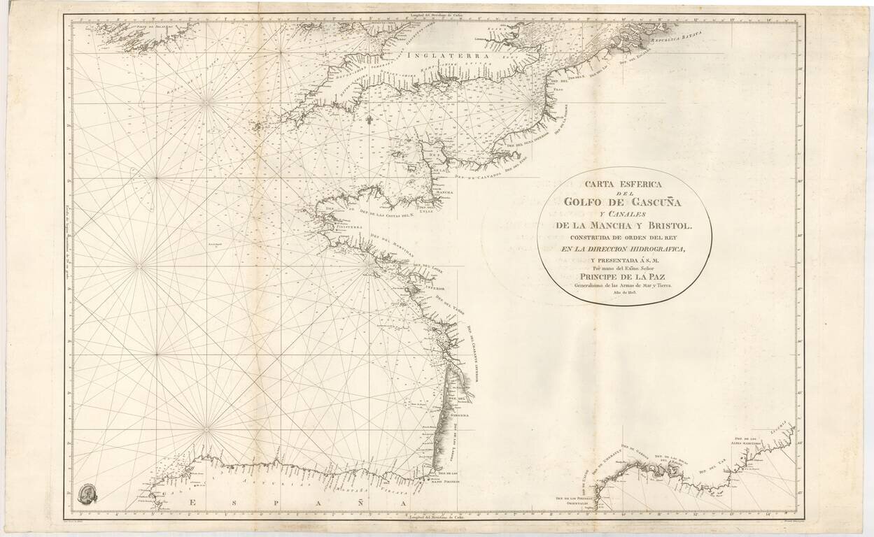
Rare Official Spanish Blue Backed Sea Chart of the Bay of Biscay (Biscaya)
First edition of this fine sea chart, created by Juan Ferrer and engraved by Fernando Selma for the Spanish Hydrographical Department in 1803.
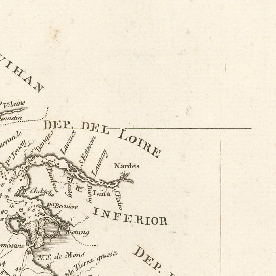
The chart extends from the coastline of Galicia in Northwestern Spain to Vizcaya (the Spanish Basque Coastline), then northward along the French coastline to Bretagne, before turning west and tracing the coastline of France and Belgium north to the region named as Republica Batava (Zeeland, in the Netherlands). Across the channel the southern part of England is shown, from Cornwall and Bristol Channel in the west, to the mouth of the Thames River, London and Essex, in the east.
At the bottom right, a section of the Mediterranean coastline is shown, from the Perpignan region of France to the Liburia region of Italy, covering all of the French Riviera, Marseilles, etc.
Juan Ferrer y Franch was a well respected chartmaker from Menorca, who was very active in the creation of sea charts at the beginning of the 19th Century.
The chart is quite rare on the market. We find no examples of the chart offered in dealer catalogs or auction records. The chart was purchased privately as part of a group of similarly folded loose blue backed sea charts.
The Dirección de Hidrografía, or the Directorate of Hydrographic Works, was established in 1797. Its roots were in the Casa de Contratación, founded in 1503 in Sevilla, which housed all the charts of the Spanish Empire and oversaw the creation and maintenance of the padrón real, the official master chart. The Casa, now in Cadiz, was shuttered in 1790, but Spain still needed a hydrographic body. In response, the Dirección was created in 1797. One of its first projects was the publication of charts from the Malaspina Expedition (1789-1794). The Dirección oversaw not only publication, but also surveying. The Dirección was abolished in the early twentieth century, when their work was distributed to other organizations.
If you are a student, write to us in telegram: @antiquemaps and indicate what material you need and for what work you need a map in high detail. We are ready to provide material on special terms. For students only!
![Carte d'Etude [Study Map]](/map/small/66795.jpg)
![Orange [Vauban Style Fortress]](/map/small/62043.jpg)
