Map size in jpg-format: 314665B
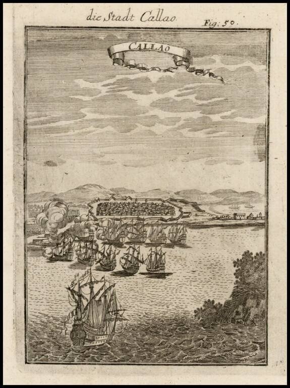
Excellen birdseye view of this Peruvian city from the harbor, featuring sailing ships and fortifications.
Mallet's multi-volume work is one of the most famous and comprehensive illustrated works of the 17th Century, which is prized for its excellent illustrations and strong engraving quality.
Alain Mannesson Mallet (1630-1706) was a French mapmaker and engineer who served in the armies of Louis XIV. After rising through the ranks, Mallet was appointed as Inspector of Fortifications, a job which also required mathematical skills and which made him a competent military engineer. Eventually, he joined the court of Louis XIV at Versailles, where he taught math and focused on writing.
Mallet is best known for his Description de L’Univers, first published in 1683, in five volumes. A wide-ranging geographical work, the Description included textual descriptions of the countries of the world, as well as maps of the celestial sky and the ancient and modern worlds. The Description continued to be published until the early eighteenth century. He also published a work in three volumes on warfare (1684) and a primer on geometry (1702).
If you are a student, write to us in telegram: @antiquemaps and indicate what material you need and for what work you need a map in high detail. We are ready to provide material on special terms. For students only!


![[Signed Political Satire Artwork] Vietnam ... Vietnam ... Vietnam ...](/map/small/68726.jpg)