Map size in jpg-format: 2.49734MiB
Click to open in high resolution (open in new tab).
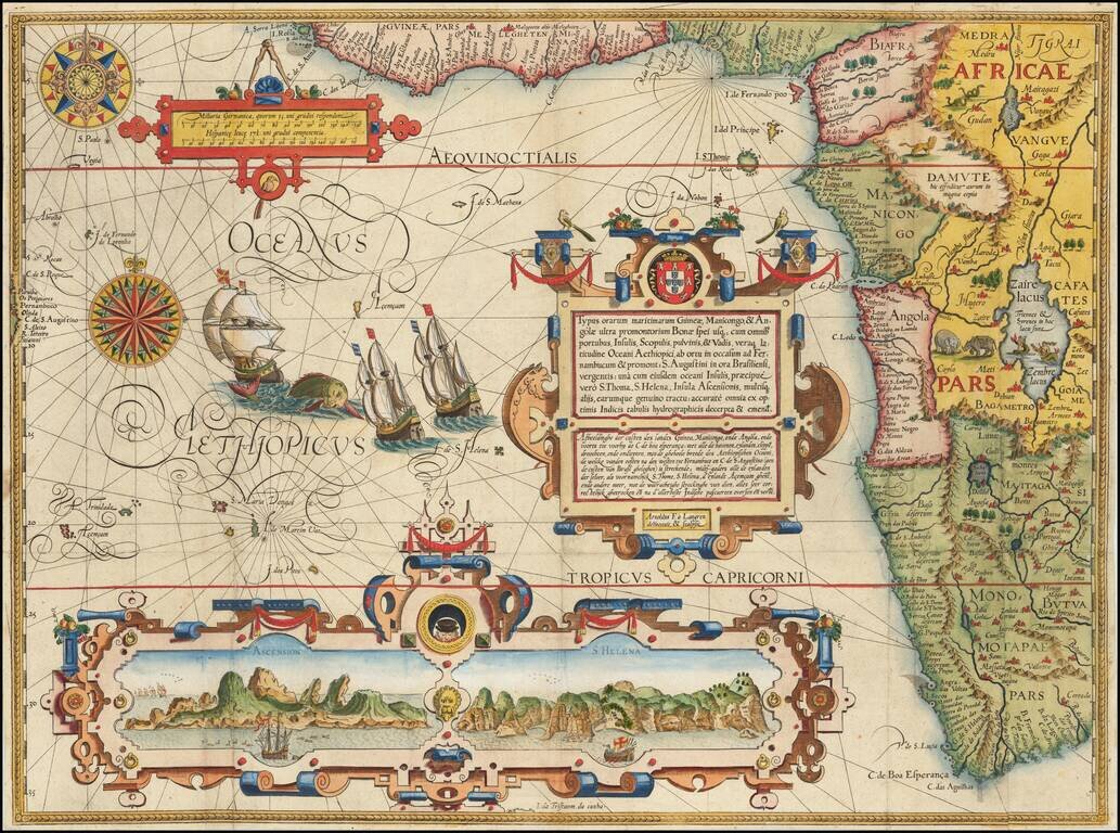
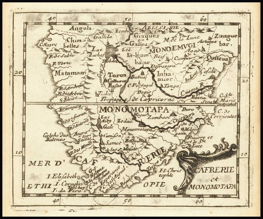
Rare engraved map of southern Africa, from Pierre Du Val's La Gegoraphie Universelle.
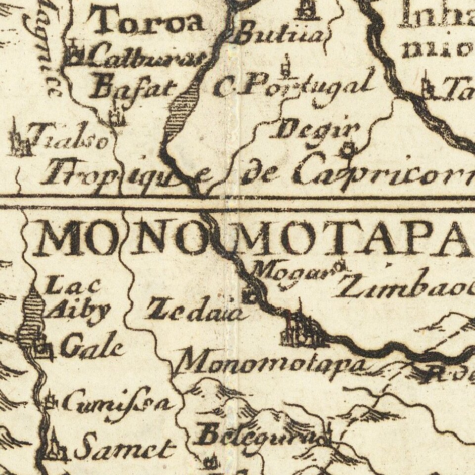
This is a later state of a map that first appeared in 1663. In this state Table Bay and Aghulhas Bank are named.
This map was published at the time that the first Afrikaner settlers began moving into southern Africa.
Pierre Duval (1618-1683) was a French geographer, cartographer, and publisher who worked in Abbeville and Paris during the seventeenth century. He was born in the former city, in northeast France, before moving to Paris. Duval was the nephew of the famous cartographer Nicolas Sanson, from whom he learned the mapmaker's art and skills. Both men worked at the royal court, having followed the royal request for artists to relocate to Paris. In addition to numerous maps and atlases, Du Val's opus also includes geography texts. He held the title of geographe ordinaire du roi from 1650 and died in 1683, when his wife and daughters took over his business.
If you are a student, write to us in telegram: @antiquemaps and indicate what material you need and for what work you need a map in high detail. We are ready to provide material on special terms. For students only!