Map size in jpg-format: 19.6723MiB
Click to open in high resolution (open in new tab).
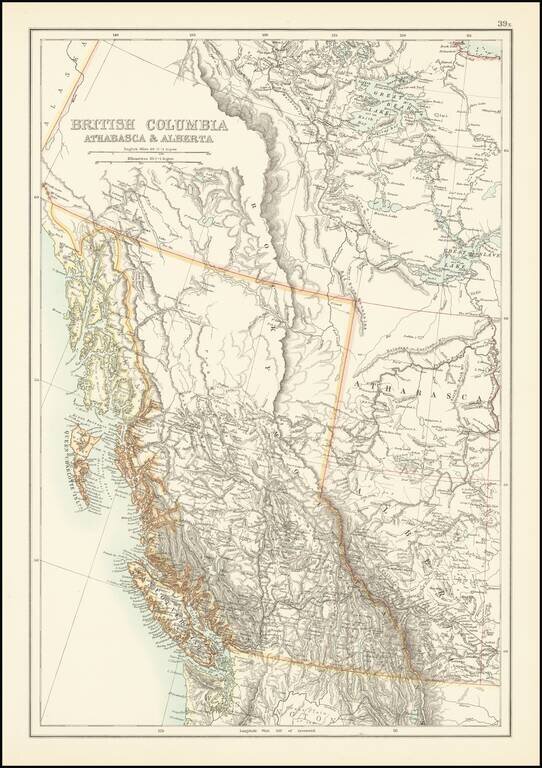
Scarce map of British Columbia and environs, published by A & C Black.
The map provides excellent topographical detail for the region, illustrating lakes, rivers, mountains, etc.
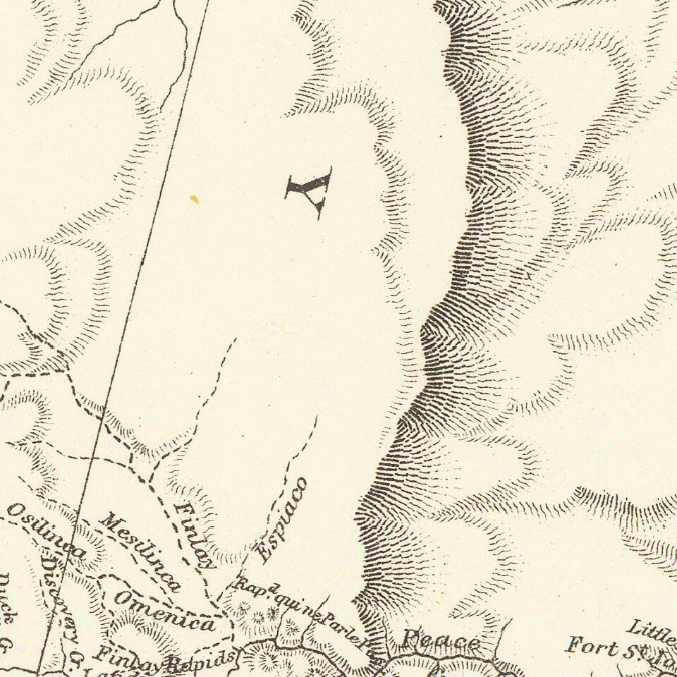
A number of rivers in the map are illustrated with dashed lines, indicating a lack of definitive knowledge of the course of the rivers.
A number of Hudson Bay Trading Company posts and forts (some abandoned) are noted.
The line of Canada's first transcontinental railroad is also shown.
If you are a student, write to us in telegram: @antiquemaps and indicate what material you need and for what work you need a map in high detail. We are ready to provide material on special terms. For students only!

![Amer. Sep. No. 33. Partie De La Nouvelle Bretagne (Upper Missouri River, Lake Winnepeg, Lake of the Woods and Saskatehawan River]](/map/small/41687.jpg)
