![Physical Geography [Mountains and Vegetation]](/map/small/66182.jpg)
An interesting data visualization of Alexander von Humboldt's work on equatorial American vegetation. Shows the height of major features in the area, such as a Quito or Chimborazo, and compares them to European mountains, including Mont Blanc. Most of...

Excellent map of California, Mexico, Texas and the Southwest, published by A&C Black. The map covers all of Upper California and shows the missions, early forts and information immediately prior to the discovery of gold. Several settlement and...
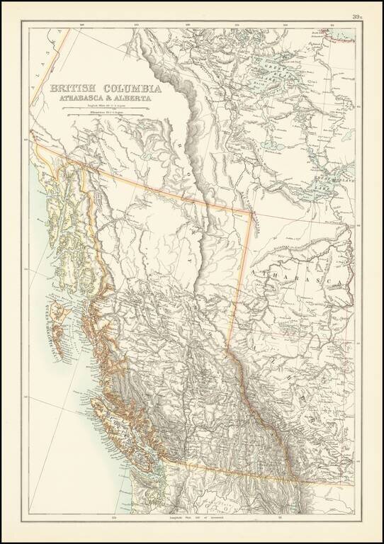
Scarce map of British Columbia and environs, published by A & C Black. The map provides excellent topographical detail for the region, illustrating lakes, rivers, mountains, etc. A number of rivers in the map are illustrated with dashed lines,...