Map size in jpg-format: 26.8171MiB
Click to open in high resolution (open in new tab).
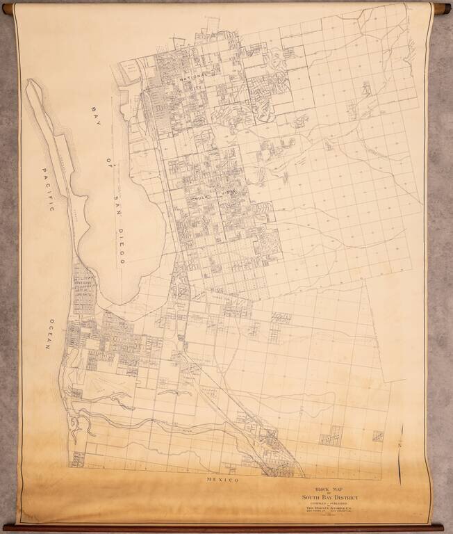
Rare Wall Map of the South Bay
Interesting map of the area south of San Diego, extending from National City to Tijuana, centered on Chula Vista.
The map covers what is today Imperial Beach, National City, Chula Vista, San Ysidro, and Bonita, however, when it was made it the area was relatively sparsely populated and the grinding and subdivision of land was fairly new.
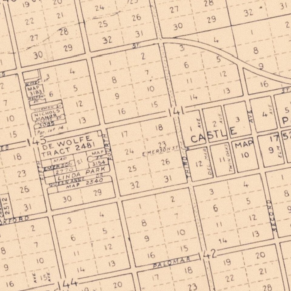
An exceptionally detailed map of the South Bay.
Rarity
The map is unrecorded. We are aware of no other surviving examples.
If you are a student, write to us in telegram: @antiquemaps and indicate what material you need and for what work you need a map in high detail. We are ready to provide material on special terms. For students only!
![(California-Mexico Border Survey) Datos de los trabajos astronómicos y topográficos. [bound with:] Variedades de la civilizacion, nueva epoca (Tomo I)](/map/small/70777.jpg)