logo

1946. Bill Skacel's Cartoon Map of Montana "Land of the Shining Mountains"

  • Bill Skacel's Cartoon Map of Montana
  • Bill Skacel's Cartoon Map of Montana

Bill Skacel's Cartoon Map of Montana "Land of the Shining Mountains" information:

Year of creation: 
Resolution size (pixels): 
 10830x7206 px
Disk Size: 
 13.9926MiB
Number of pages: 
 2
Place: 
 Milwaukee
Author: 

Print information. Print size (Width x height in inches):
Printing at 72 dpi 
  150.42 х 100.08
Printing at 150 dpi 
 72.2 х 48.04
Printing at 300 dpi 
 36.1 х 24.02

An example of detailing the file of this map of in a printable high-resolution:

Click to open in high resolution (open in new tab).
Attention! this is just the central piece (central area 960x960 px) of the map file!
This is an example, so that you can see and study the level of detail of a given map. The entire Map will be fully available after payment!

Bill Skacel's Cartoon Map of Montana

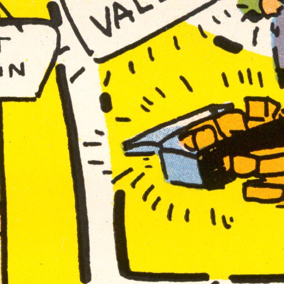
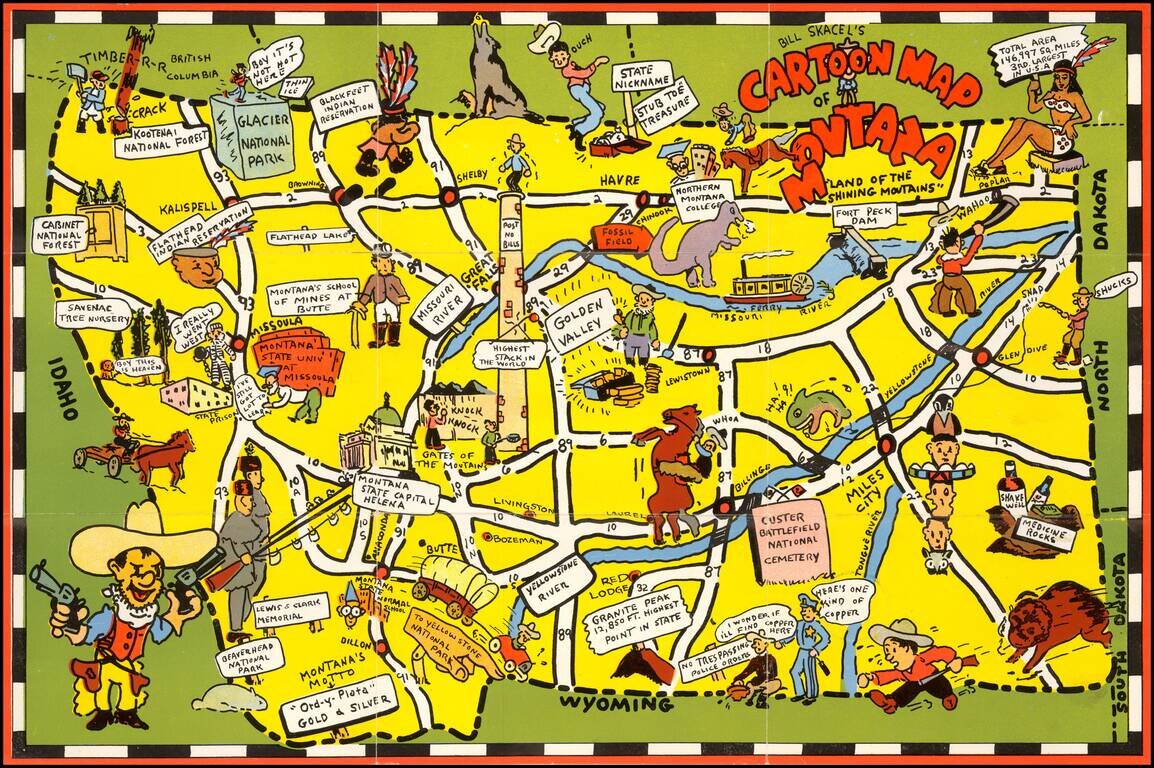
Scarce pictoiral map of Montana, which is printed to become a self mailing letter.

The map provides a whimsical image of Montana's iconic national parks, national forest, Indian reservations, roads, trails, waterways, and recreational activities.

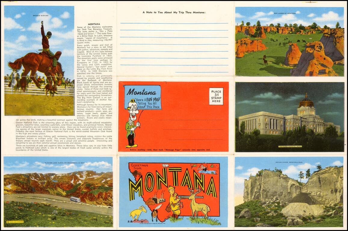
On verso: photos of scenic views and landmark, landmark and text.


Special conditions for students!

If you are a student, write to us in telegram: @antiquemaps and indicate what material you need and for what work you need a map in high detail. We are ready to provide material on special terms. For students only!

Item information:

Year of creation:
Size:
10830x7206 px
Disk:
13.9926MiB
Number of pages:
2
Place:
Milwaukee
Author:
Bill Skacel.
$14.99

Related item