
Map size in jpg-format: 14.8538MiB
Click to open in high resolution (open in new tab).

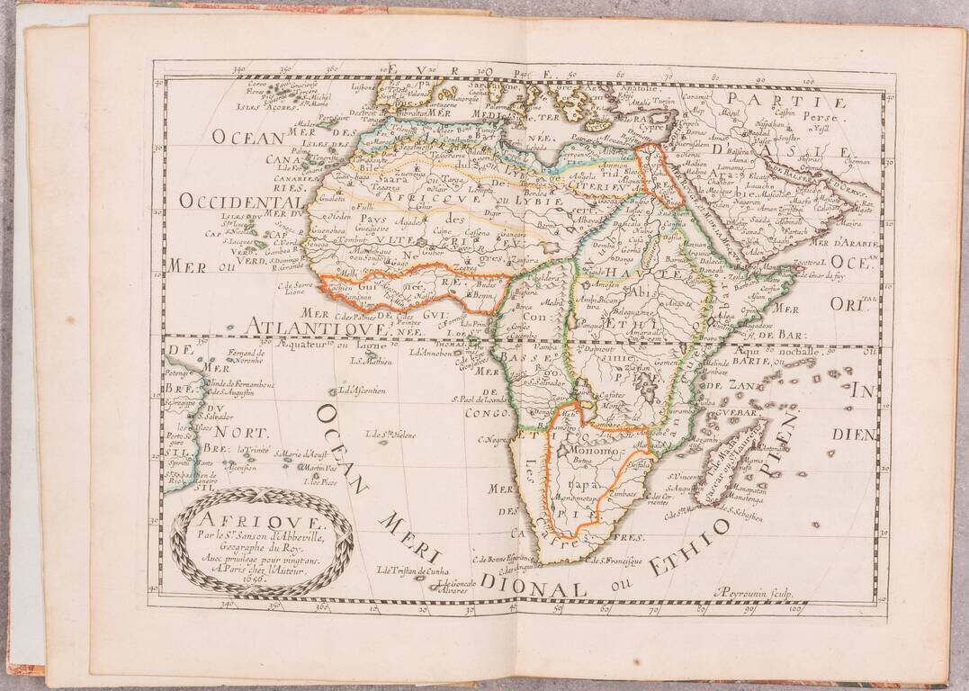
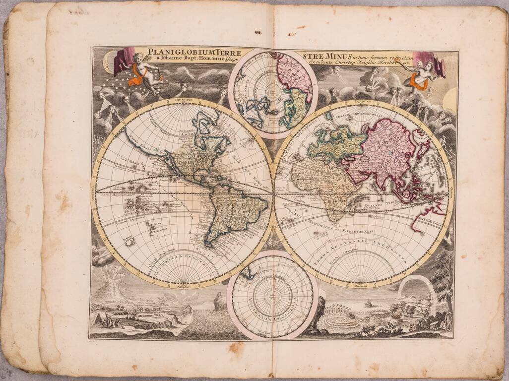
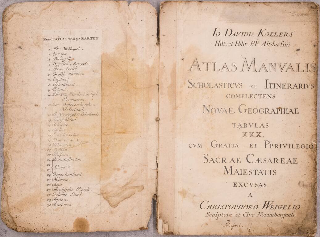
A good example of German historian David Koehler's popular early 18th-century atlas by Nuremberg mapmaker Christopher Weigel, with maps based on models by Homann, Moll, and Goos.
Includes a map of the world and continents and 25 regional maps, including most European nations, the Ottoman Empire, and the Holy Land.
A larger edition, with 20 extra maps of German provinces, was also issued.
Johann David Köhler (1684 – 1755) was a German historian. His academic focuses were on Roman coins as historical artifacts, ancient weapons, and genealogy. Köhler also served as university librarian at Altdorf and contributed to the early library science literature.
If you are a student, write to us in telegram: @antiquemaps and indicate what material you need and for what work you need a map in high detail. We are ready to provide material on special terms. For students only!
![[Blaeu Atlas of America] America, Quae Est Geographiae Blavianae Pars Quinta Liber Unus Volumen Undecimum](/map/small/66852.jpg)