Map size in jpg-format: 12.0752MiB
Click to open in high resolution (open in new tab).

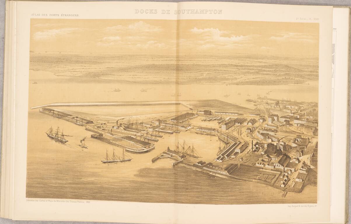
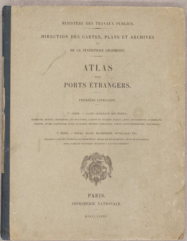
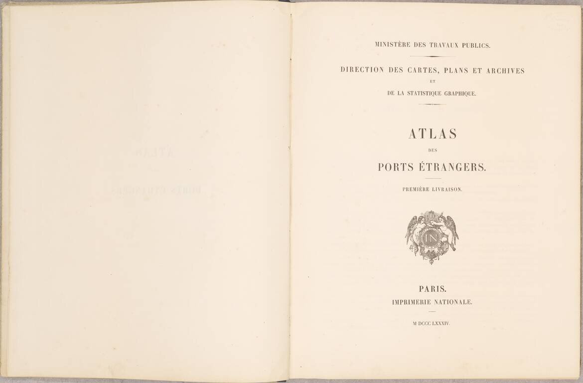
Scarce French Atlas of "foreign" ports, published by the French Ministry of Public Works.
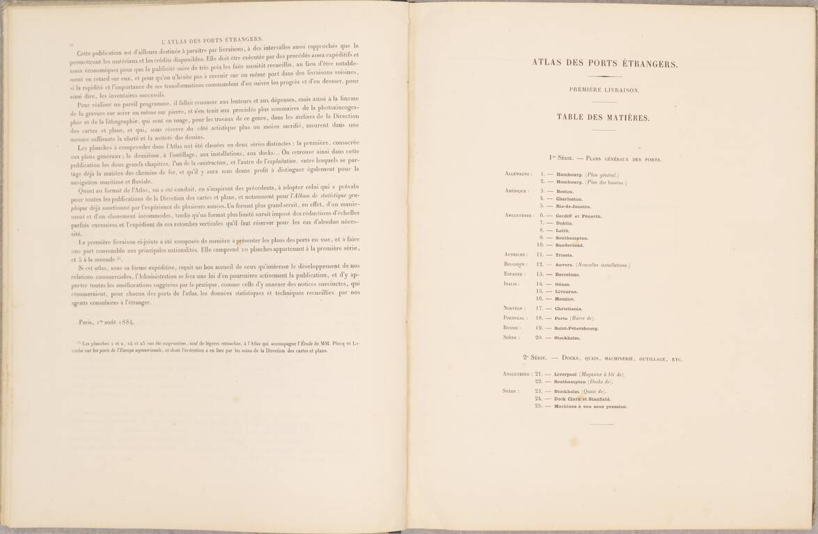
The atlas consists of 20 mostly double page and folding maps, including:
There are an additional five maps detailing docks, quays, cranes, machinery and dry docks, etc., including a fine large image of:
This is the first volume, which was continued for a number of years in the second half of the 1880s.
If you are a student, write to us in telegram: @antiquemaps and indicate what material you need and for what work you need a map in high detail. We are ready to provide material on special terms. For students only!
![[Blaeu Atlas of America] America, Quae Est Geographiae Blavianae Pars Quinta Liber Unus Volumen Undecimum](/map/small/66852.jpg)