logo

1844. Arkansas

  • Arkansas

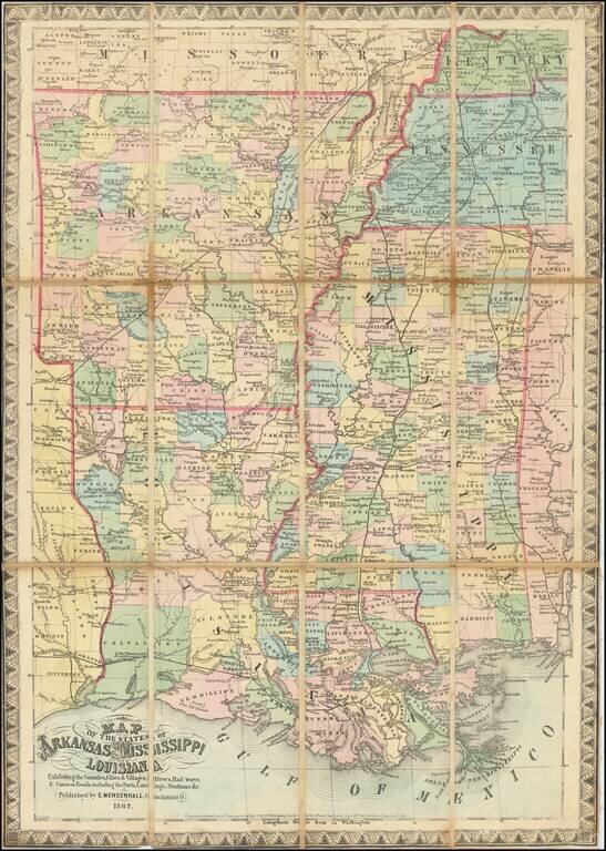
Map size in jpg-format: 1.82427MiB

Download "Arkansas", in high resolution.

Arkansas information:

Year of creation: 
Resolution size (pixels): 
 3735x2873 px
Disk Size: 
 1.82427MiB
Number of pages: 
 1
Place: 
 Washington

Print information. Print size (Width x height in inches):
Printing at 72 dpi 
  51.88 х 39.9
Printing at 150 dpi 
 24.9 х 19.15
Printing at 300 dpi 
 12.45 х 9.58

An example of detailing the file of this map of in a printable high-resolution:

Click to open in high resolution (open in new tab).
Attention! this is just the central piece (central area 960x960 px) of the map file!
This is an example, so that you can see and study the level of detail of a given map. The entire Map will be fully available after payment!

Arkansas

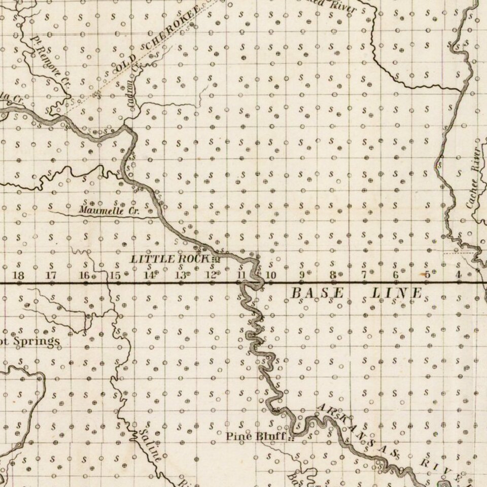
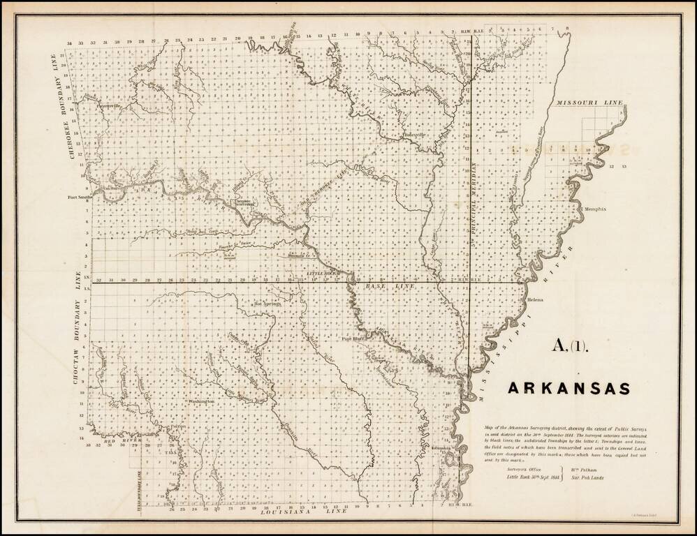
Interesting early survey map of Arkansas, showing the progress of the township survey work through 1844, along with a detailed explanation of the progress of the surveys through September 30, 1844, by William Pelham, the Surveyor General of Arkansas.


Special conditions for students!

If you are a student, write to us in telegram: @antiquemaps and indicate what material you need and for what work you need a map in high detail. We are ready to provide material on special terms. For students only!

Item information:

Year of creation:
Size:
3735x2873 px
Disk:
1.82427MiB
Number of pages:
1
Place:
Washington
Author:
U.S. General Land Office.
$14.99

Related item