logo

1863. Appleton's Railway Map of the United States and the Canadas…

  • Appleton's Railway Map of the United States and the Canadas…
  • Appleton's Railway Map of the United States and the Canadas…

Appleton's Railway Map of the United States and the Canadas… information:

Year of creation: 
Resolution size (pixels): 
 16617x13220 px
Disk Size: 
 67.8007MiB
Number of pages: 
 2
Place: 
 New York
Author: 

Print information. Print size (Width x height in inches):
Printing at 72 dpi 
  230.79 х 183.61
Printing at 150 dpi 
 110.78 х 88.13
Printing at 300 dpi 
 55.39 х 44.07

An example of detailing the file of this map of in a printable high-resolution:

Click to open in high resolution (open in new tab).
Attention! this is just the central piece (central area 960x960 px) of the map file!
This is an example, so that you can see and study the level of detail of a given map. The entire Map will be fully available after payment!

Appleton's Railway Map of the United States and the Canadas…

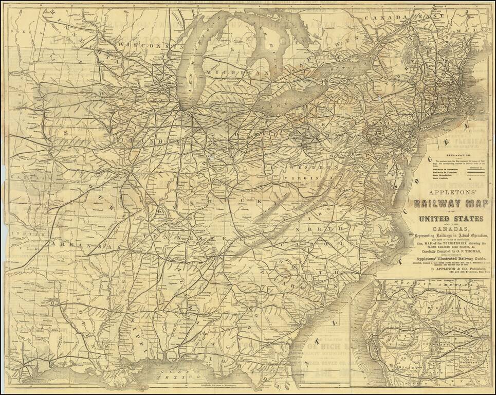
Detailed railroad map of the United States, with an large inset of the Western States.

Shows all railways in operation and in progress, as well as stations, etc.

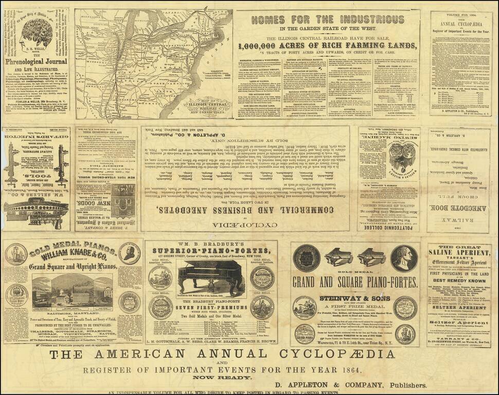
The verso includes extensive advertising.


Special conditions for students!

If you are a student, write to us in telegram: @antiquemaps and indicate what material you need and for what work you need a map in high detail. We are ready to provide material on special terms. For students only!

Item information:

Year of creation:
Size:
16617x13220 px
Disk:
67.8007MiB
Number of pages:
2
Place:
New York
Author:
D. Appleton.
$14.99

Related item