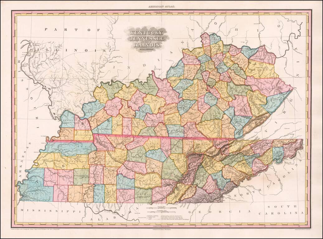
Map size in jpg-format: 62.1589MiB
Click to open in high resolution (open in new tab).

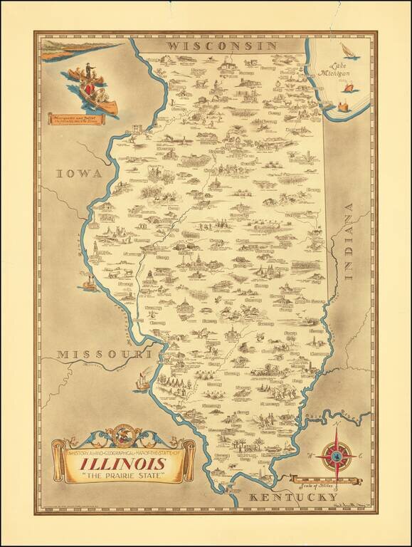
Scarce pictorial map of the Illinois, by the prolific illustrator Karl Smith.
The map is filled with historical vignettes, telling the story of Illinois's history.
Color vignette on upper left illustrating "Marquette and Jolliet the first white men to set Illinois 1673", and a decorative cartouche with the state seal at the lower left. Compass rose on lower right oriented with north toward the upper right.
Rarity
Most of Smith's maps are scarce on the market.
If you are a student, write to us in telegram: @antiquemaps and indicate what material you need and for what work you need a map in high detail. We are ready to provide material on special terms. For students only!