Map size in jpg-format: 27.4817MiB
Click to open in high resolution (open in new tab).
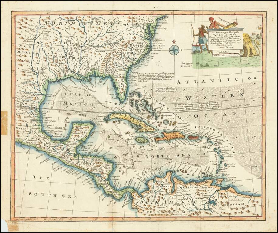
Decorative example of Bowen's map of the Southeastern United States, Florida, Gulf Coast, Texas, Caribbean and Central America.
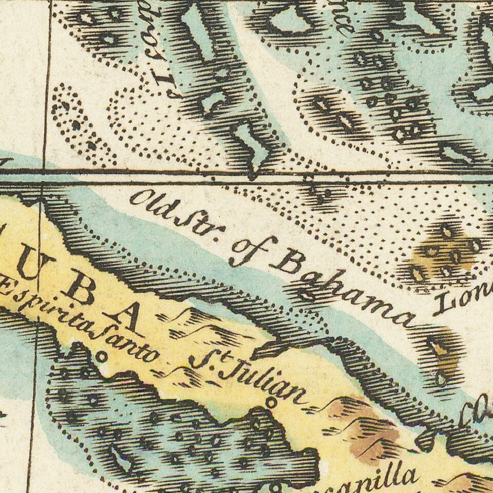
The map is embellished by an elaborate native American scene, along with a depiction of a lion and other indigenous animals. Excellent cartographic detail throughout, including annotations describing King Charles II's charter of 1665 to the Earl of Clarendon, Duke of Albemarle, etc., which established the Carolina Colony, extending south to St. Augustine and incorporating the recently named (and just colonized) Georgia. A second note identifies Columbus' landfall on St. Salvador or Cat Island in 1492. A third note addresses the taking of the Bahamas by the Spanish and French in 1703 and subsequent retaking of the island by the Captain Rogers for the British in 1717.
A number of towns, forts and other places of interest are noted throughout.
Emanuel Bowen (1694?-1767) was a British engraver and print seller. He was most well-known for his atlases and county maps. Although he died in poverty, he was widely acknowledged for his expertise and was appointed as mapmaker to both George II of England and Louis XV of France. His business was carried on by his son, Thomas Bowen. He also trained many apprentices, two of whom became prominent mapmakers, Thomas Kitchin and Thomas Jeffreys.
If you are a student, write to us in telegram: @antiquemaps and indicate what material you need and for what work you need a map in high detail. We are ready to provide material on special terms. For students only!


