logo

1772. America Meridionalis Concinata juxta Observationes . . .

  • America Meridionalis Concinata juxta Observationes . . .

America Meridionalis Concinata juxta Observationes . . . information:

Year of creation: 
Resolution size (pixels): 
 15424x12031 px
Disk Size: 
 44.9553MiB
Number of pages: 
 1
Place: 
 Augsberg
Author: 

Print information. Print size (Width x height in inches):
Printing at 72 dpi 
  214.22 х 167.1
Printing at 150 dpi 
 102.83 х 80.21
Printing at 300 dpi 
 51.41 х 40.1

An example of detailing the file of this map of in a printable high-resolution:

Click to open in high resolution (open in new tab).
Attention! this is just the central piece (central area 960x960 px) of the map file!
This is an example, so that you can see and study the level of detail of a given map. The entire Map will be fully available after payment!

America Meridionalis Concinata juxta Observationes . . .

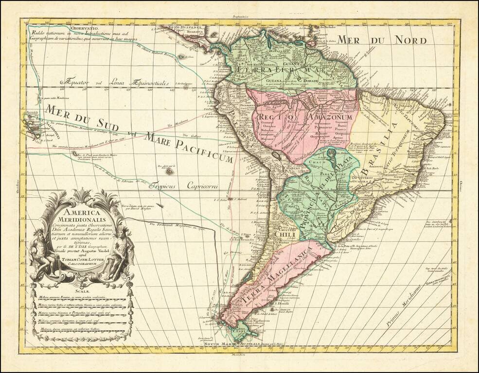
Decorative map of South America, by Conrad Lotter.

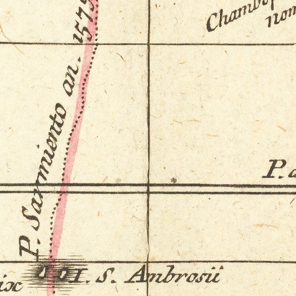
The map shows the routes of Magellan (1520), Drake (1577), le Maire & Schouten (1616), and Sarmineto (1570). Various other dated discoveries are noted throughout.

Interesting river systems and other speculative information in the interior of the Continent.


Special conditions for students!

If you are a student, write to us in telegram: @antiquemaps and indicate what material you need and for what work you need a map in high detail. We are ready to provide material on special terms. For students only!

Item information:

Year of creation:
Size:
15424x12031 px
Disk:
44.9553MiB
Number of pages:
1
Place:
Augsberg
Author:
Gustav Conrad Lotter.
$14.99

Related item