Map size in jpg-format: 5.85642MiB
Click to open in high resolution (open in new tab).
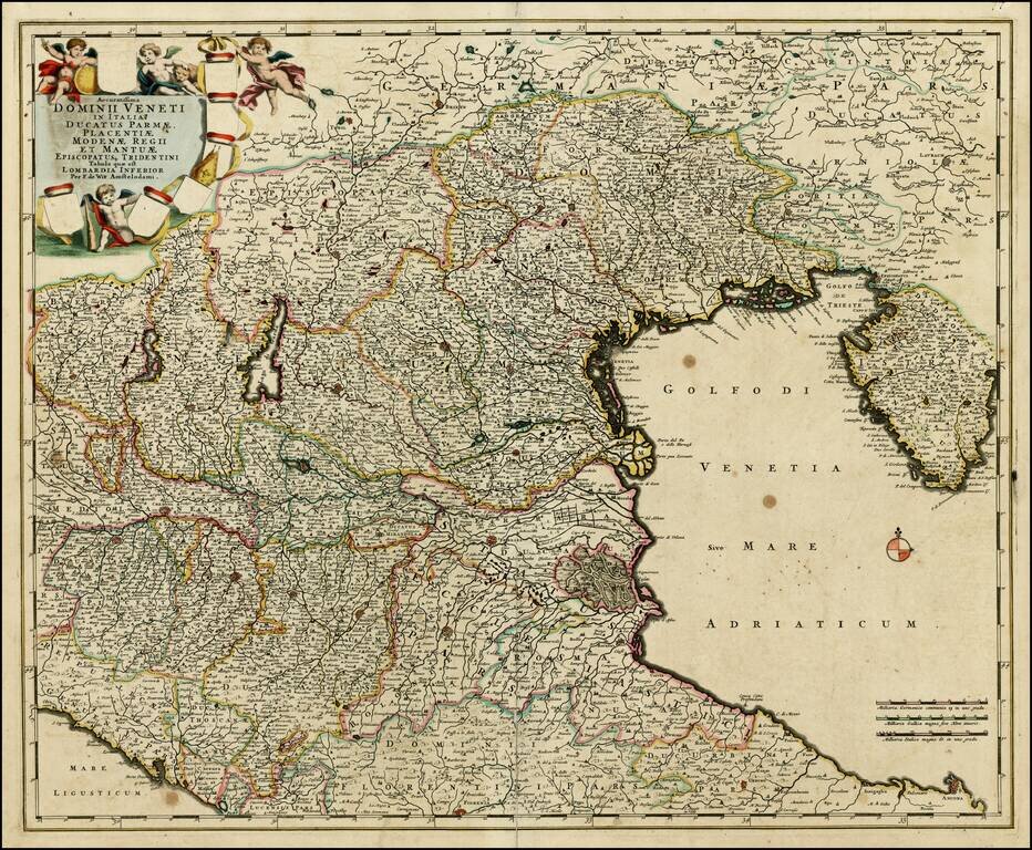
Rare early proof state of De Wit's map of the Dominion of Venice, extending from Stato di Milano and Genoa to Istria.
This is apparently a very rare early proof state. We note at least 4 states of the map, this early state, with the coats of arms unfinished and no shading around the cherubs at the top, a second early state with shading around the cherubs, but no coats of arms, a third state with the coats of arms completed and a late state by Covens & Mortier.
De Wit (1629 ca.-1706) was a mapmaker and mapseller who was born in Gouda but who worked and died in Amsterdam. He moved to the city in 1648, where he opened a printing operation under the name of The Three Crabs; later, he changed the name of his shop to The White Chart. From the 1660s onward, he published atlases with a variety of maps; he is best known for these atlases and his Dutch town maps. After Frederik’s death in 1706, his wife Maria ran the shop for four years before selling it. Their son, Franciscus, was a stockfish merchant and had no interest in the map shop. At the auction to liquidate the de Wit stock, most of the plates went to Pieter Mortier, whose firm eventually became Covens & Mortier, one of the biggest cartography houses of the eighteenth century.
If you are a student, write to us in telegram: @antiquemaps and indicate what material you need and for what work you need a map in high detail. We are ready to provide material on special terms. For students only!


