Map size in jpg-format: 176.637MiB
Click to open in high resolution (open in new tab).
“Texas is, or will be, the wealthiest state in the Union, possessing as she does great agricultural capabilities, all the varieties of soils, minerals and useful rocks known to exist in the world.” (Roessler, “Some Account of the Mineral Wealth of Texas,” Albert Hanford’s Texas State Register for 1876, p. 87)
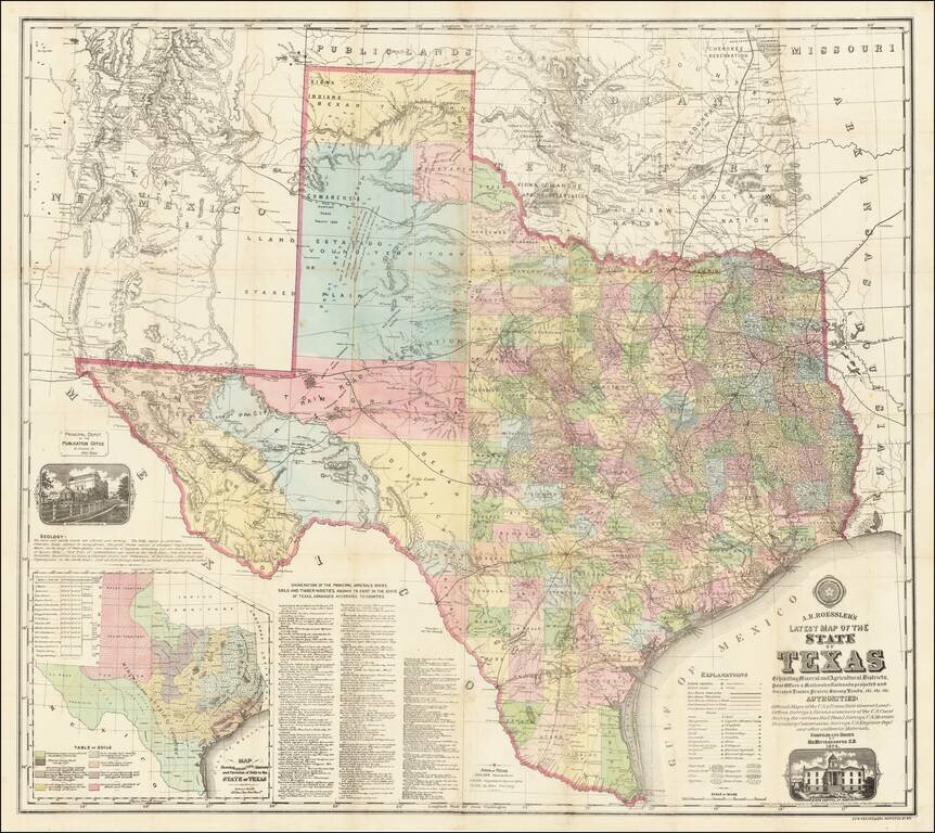
Anton Roessler’s 1874 map is one of the great large-format 19th-century depictions of the state, being among other things the only published map to preserve the findings of Shumard’s Antebellum agricultural and geological survey. In scale, detail, and content it represents a giant leap forward from Ferdinand Roemer’s 1849 geological map, and for its depiction of the state’s natural resources and agricultural potential must be considered a landmark in the mapping of Texas.
Anton Roessler
Born in Hungary in 1826, Anton Roessler is remembered today with universal ambivalence: Those in the know credit his talent, determination, and great contributions to Texas geography and geology, but also feel compelled to acknowledge his combative personality and dubious professional ethics.
The circumstances of Roessler’s training in Europe and arrival in Texas are not clear, but by 1860 he had arrived and “rapidly become one of the best cartographers in Texas.” That year he was appointed to the Texas Geological Survey, overseen by State Geologist Benjamin Franklin Shumard and the first survey of its kind in the state. Unfortunately, the endeavor was soon aborted by the outbreak of the Civil War, which saw most of its members leave for service with the Union. Roessler remained, however, serving during the War as Chief Draftsman of the Austin Arsenal. In this capacity, he was somehow able to preserve many of the maps and samples accumulated during the short life of the Geological Survey. These would “otherwise would have been lost or destroyed during the war years, when the geological survey rooms were used as a percussion-cap factory.” (Connor)
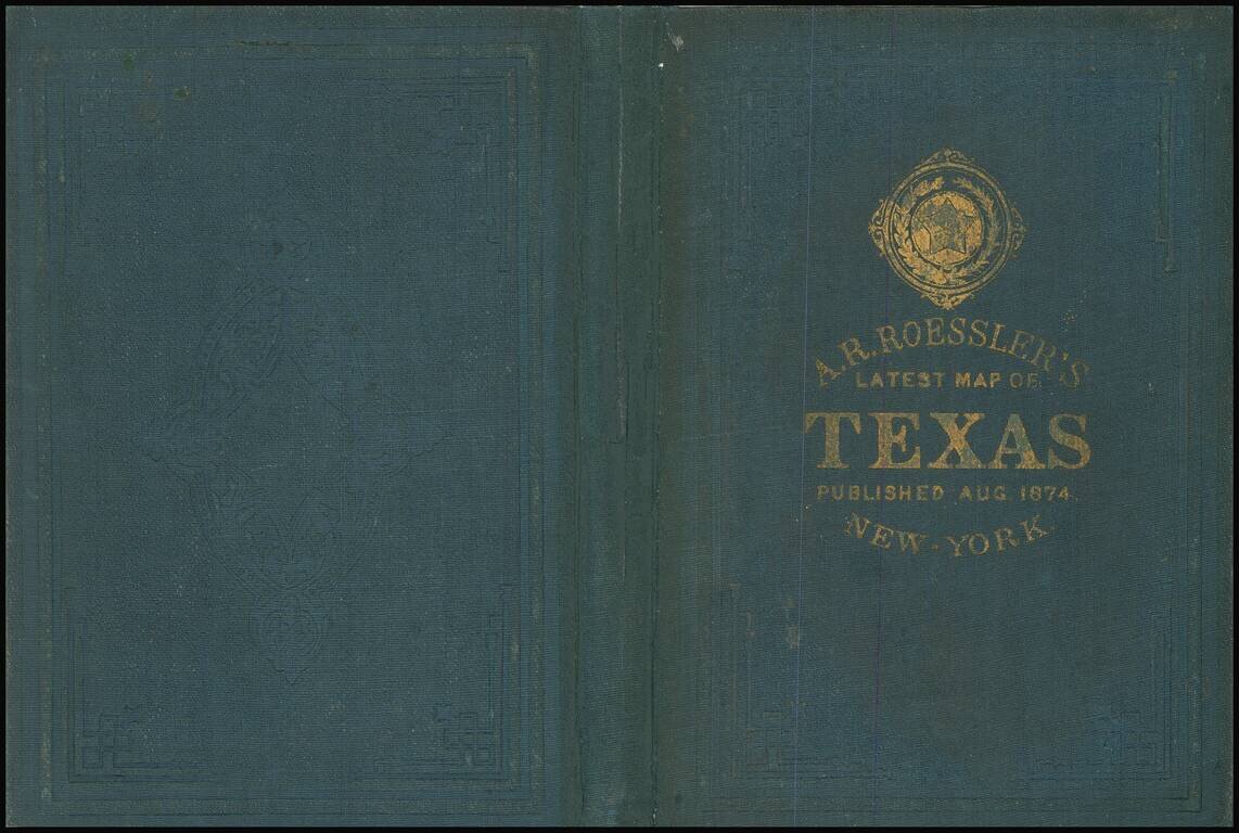
Aside from a stint as a geologist at the General Land Office in Washington, D.C. in the late 1860s, Roessler spent the rest of his life in Austin. In the 1870s he became involved with the Texas Land and Immigration Company of New York, serving as its Secretary. It was in that capacity, it seems, that the put the maps of the Shumard Survey to private use, issuing at least 16 maps of Texas counties and a number of state maps, the most notable of which is his 1874 Roessler’s Latest Map of the State of Texas, offered here.
“Roessler’s motives for salvaging the survey data for mapmaking are somewhat suspect; but in whatever manner he obtained the data, the maps were mostly published under the banner of the Texas Land and Immigration Company of New York. In addition to geological data of the survey, the maps contained promotional material of a later date.” (Connor)
As an interesting aside, Roessler's geological surveying brought him at least one interesting paleontological discovery recorded int the 10th of August 1870 issue of The Galveston Daily News:
REMAINS OF A MONSTER IN TEXAS. Mr. A. R. Roessler, of the United States Geological and Mining Bureau, has furnished the United States Land Office with a description of the bones of a fossil monster, discovered by him during his late visit to Texas, on the banks of Beaver Creek, in northwest Texas. It belongs to an undescribed species of the genus "elephas," greatly superior in size to that of "elephas primigenus," "mastodon" or any other known species. The skeleton is complete, and its jaw bone measures eleven feet three inches. The teeth indicate a young animal in their longitudinal axis they measure about twenty inches; in their vertical axis, in the centre of the tooth, about five and a half inches, and lengthening out, in consequence of the nerve or root end of the tooth being quite concave, to about eight inches.
Latest Map of the State of Texas
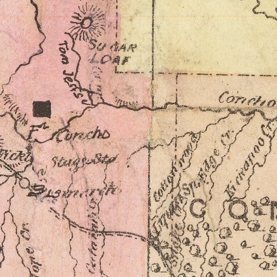
Roessler’s monumental map depicts Texas, large areas of adjacent Indian Territory (Oklahoma) and New Mexico, and parts of Louisiana and Arkansas. The map is absolutely packed with information, particularly in the eastern part of the state. All the essentials are of course present: Rivers and river systems drawn with some care, elevations indicated by hachuring, and superimposed upon these the human landscape of county boundaries, the latter picked out in wash color; cities, towns and settlements; and roads, trails, “completed” and “projected” railroads, and even three types of post routes.
But that’s just the beginning. With access to the otherwise-lost maps of the Shumard Survey, Roessler was able to give a strikingly-detailed depiction of what lay above and below the surface. Seven distinct symbols indicate the predominant ground cover (post oak, black jack, pine, cypress and so on); while a whopping 22 symbols indicate mineral, metal, and other subterranean resources, including everything from iron to “nitre caves”. There is no mention of oil, but—with the benefit of hindsight--symbols for coal, brown coal, and “mineral asphalt” hint at the staggering wealth that would eventually be extracted. An inset map at left delineates the state’s “agricultural districts and varieties of soils”, including vast areas “unequalled for … excellent pasturage” and others, nearly as vast, featuring “rich sandy Soil, heavily timbered and easy of Cultivation”. Finally, two pictorial vignettes depict the State Capitol building and the headquarters of the General Land Office in Austin; the latter is of some documentary value, as the structure burned in 1881.
Nowhere on the map is Roessler’s Texas Land and Immigration Company mentioned. Nevertheless, the map’s fundamentally promotional message is clear: The State of Texas was vast and underpopulated, boasted excellent infrastructure, and offered staggering opportunities for farmers, miners, and affiliated sectors. Indeed just a couple of years later Roessler would write that “Texas is, or will be, the wealthiest state in the Union, possessing as she does great agricultural capabilities, [and] all the varieties of soils, minerals and useful rocks known to exist in the world.” (Roessler, “Some Account of the Mineral Wealth of Texas,” Albert Hanford’s Texas State Register for 1876, page 87)
It is not known exactly when Roessler began work on the printed map, but in March of 1874, The Times-Picayune reports that he was at work on it: "...Prof. Roessler, the Texas geologist, now in New York preparing a map of the mineral resources of the State at the office of the New York South." By August of that year, the map was available in Texas, with the August 23, 1874, issue of the Austin American-Statesman reviewing the map:
A NEW MAP OF TEXAS-- We have been presented by Mr. A. R. Roessler, the publisher, with one of his late and improved maps of this State, which fills a need that has long been felt. The counties created at the last session of the Legislature appear upon the map, as also much valuable information regarding the area and geology of the State; the enumeration of the principal minerals, rocks, soils, and timber varieties, arranged according to counties, etc., as also information in regard to railroads, completed and in contemplation. In short it is a complete and valuable map, selling at from seventy-five cents to two dollars a copy.
Owned in partnership with Boston Rare Maps.
If you are a student, write to us in telegram: @antiquemaps and indicate what material you need and for what work you need a map in high detail. We are ready to provide material on special terms. For students only!


