logo

1855. A New Universal Atlas Containing Maps of the various Empires, Kingdoms, States and Republics of the World With a special Map of each of the United States, plans of Cities, &c. Comprehended in seventy five sheets, and forming a series of One Hundred and Tw

  • A New Universal Atlas Containing Maps of the various Empires, Kingdoms, States and Republics of the World With a special Map of each of the United States, plans of Cities, &c. Comprehended in seventy five sheets, and forming a series of One Hundred and Tw
  • A New Universal Atlas Containing Maps of the various Empires, Kingdoms, States and Republics of the World With a special Map of each of the United States, plans of Cities, &c. Comprehended in seventy five sheets, and forming a series of One Hundred and Tw
  • A New Universal Atlas Containing Maps of the various Empires, Kingdoms, States and Republics of the World With a special Map of each of the United States, plans of Cities, &c. Comprehended in seventy five sheets, and forming a series of One Hundred and Tw
  • A New Universal Atlas Containing Maps of the various Empires, Kingdoms, States and Republics of the World With a special Map of each of the United States, plans of Cities, &c. Comprehended in seventy five sheets, and forming a series of One Hundred and Tw

A New Universal Atlas Containing Maps of the various Empires, Kingdoms, States and Republics of the World With a special Map of each of the United States, plans of Cities, &c. Comprehended in seventy five sheets, and forming a series of One Hundred and Tw information:

Year of creation: 
Resolution size (pixels): 
 7831x5027 px
Disk Size: 
 9468050B
Number of pages: 
 76
Place: 
 Philadelphia

Print information. Print size (Width x height in inches):
Printing at 72 dpi 
  108.76 х 69.82
Printing at 150 dpi 
 52.21 х 33.51
Printing at 300 dpi 
 26.1 х 16.76

An example of detailing the file of this map of in a printable high-resolution:

Click to open in high resolution (open in new tab).
Attention! this is just the central piece (central area 960x960 px) of the map file!
This is an example, so that you can see and study the level of detail of a given map. The entire Map will be fully available after payment!

A New Universal Atlas Containing Maps of the various Empires, Kingdoms, States and Republics of the World With a special Map of each of the United States, plans of Cities, &c. Comprehended in seventy five sheets, and forming a series of One Hundred and Tw

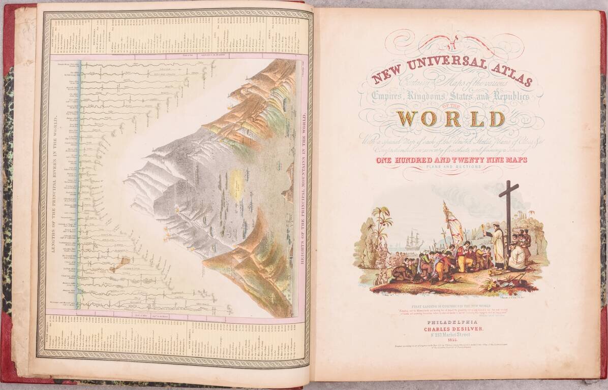
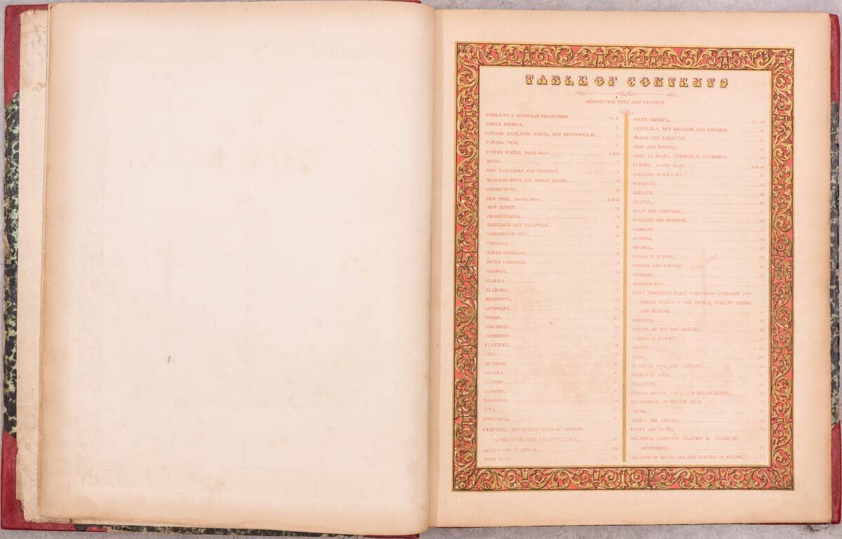
A handsome example of the 1855 Samuel August Mitchell New Universal Atlas, an important edition from one of the quintessential American atlas series of the 19th century.

Despite being an atlas of the world, most of the atlas is concerned with the United States. The atlas includes important early maps of Texas, and the American West, as well as many beautiful maps of individual states.

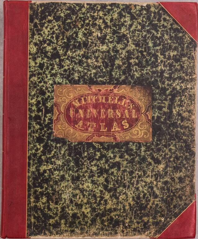
This is a late issue of the 1855 edition of the Mitchell New Universal Atlas; the Minnesota map includes Pierce, Davis, and Renville Counties, created from Pierce County in the previous iteration; furthermore, Arkansas has the table of population at the top, not the steamboat routes as previously.

In 1845, Mitchell had acquired the rights to Tanner's New Universal Atlas (which had first been published in 1836). Mitchell published the atlas until the 1850s, when he sold the copyright to Cowperthwait & Co. Thomas, Cowperthwait & Co. published the atlas until the mid-1850s when it was again sold to Charles Desilver.

Phillips Atlases 6118; cf. Ristow pages 311-313; see Rumsey 4328 for comparison to an early 1855 edition.

Special conditions for students!

If you are a student, write to us in telegram: @antiquemaps and indicate what material you need and for what work you need a map in high detail. We are ready to provide material on special terms. For students only!

Item information:

Year of creation:
Size:
7831x5027 px
Disk:
9468050B
Number of pages:
76
Place:
Philadelphia
Author:
Samuel Augustus Mitchell. Charles Desilver.
$24.99

Related item