Map size in jpg-format: 52.3493MiB
Click to open in high resolution (open in new tab).
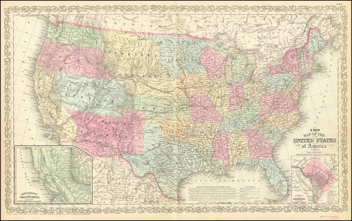
Antique Map of United States with early Western Territorial Borders
Nice example of Charles Desilver's map of the United States, illustrating the evolving American West.
Oregon and Washington extend to the Rocky Mountains. Massive Nebraska Territory extends to Canada and the Rocky Mountains. Utah Territory and New Mexico Territory also extend to the Rocky Mountains. Large Minnesota Territory incorporates a big part of the Dakotas.
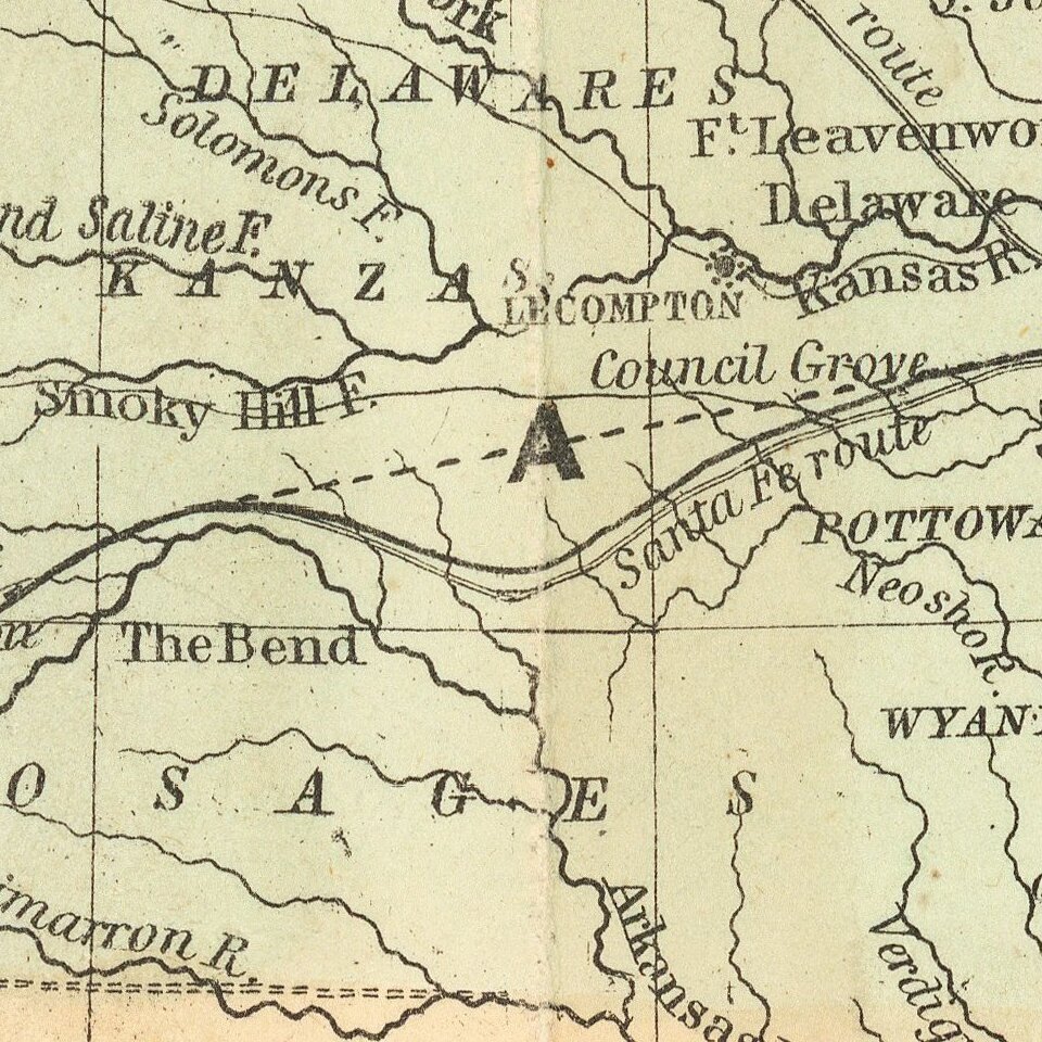
The map retains many of its marvelous characteristic details, including Indian Tribal names, early settlements, explorer routes, gold, silver and copper mines in California and New Mexico Territory, Great Spanish Trail, Oregon Trail, extensive early roads in Oregon and Washington Territories and California, many early forts and settlements, etc.
Includes insets of the Gold Regions and Washington DC. Many early railroads are shown, along with Battlefields in the Eastern United States.
If you are a student, write to us in telegram: @antiquemaps and indicate what material you need and for what work you need a map in high detail. We are ready to provide material on special terms. For students only!

![[Signed Political Satire Artwork] Vietnam ... Vietnam ... Vietnam ...](/map/small/68726.jpg)
