Map size in jpg-format: 23.3055MiB
Click to open in high resolution (open in new tab).
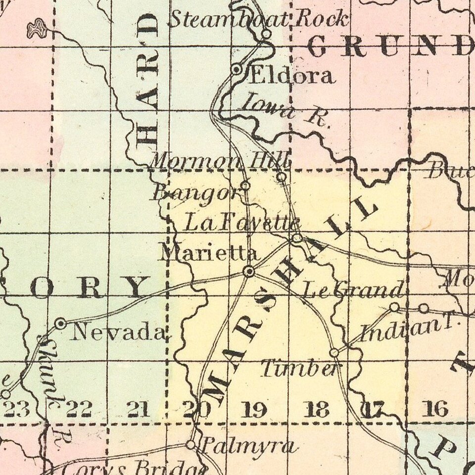
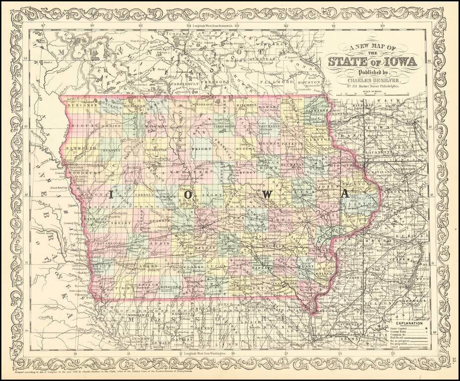
Scarce 1857 edition of this detailed map of Iowa.
The map is hand colored by counties, showing railroads, stage lines, canals, roads, rivers, lakes, forts and other details.
If you are a student, write to us in telegram: @antiquemaps and indicate what material you need and for what work you need a map in high detail. We are ready to provide material on special terms. For students only!

![Amer. Sep. No. 49. Partie des États Unis [Missouri, Illinois, Indian Territory, Kansas, Nebraska, Iowa]](/map/small/22888.jpg)