Map size in jpg-format: 18.9815MiB
Click to open in high resolution (open in new tab).
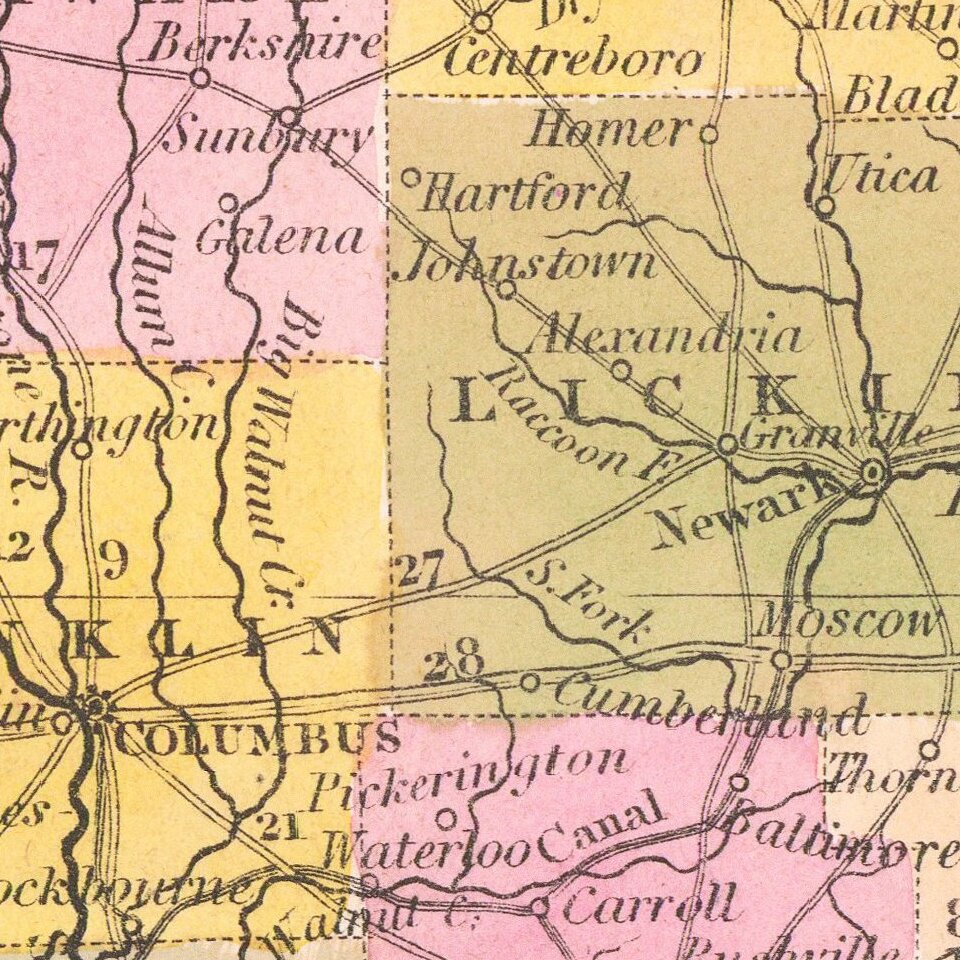
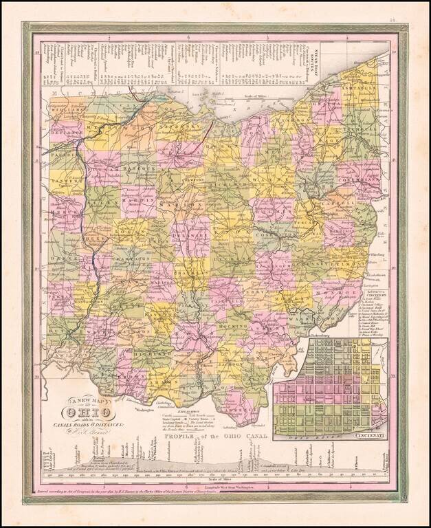
Nice example of Tanner's map of Ohio, hand colored by county, showing roads, canals, towns, steamship routes and other interesting details.
An inset shows the city plan for Cincinnati and a profile of the Ohio Canal. One spot in the border at the bottom, else a nice example.
Tanner's New Universal Atlas became the standard work in the Industry until Tanner sold the rights to the atlas in 1846 to SA Mitchell. The early editions, engraved by J. Knight, are well regarded for the high quality paper and fine engraving, comparable to the American Atlas. Tanner's Universal Atlas is now rare on the market and the separate maps are now increasingly difficult to obtain.
If you are a student, write to us in telegram: @antiquemaps and indicate what material you need and for what work you need a map in high detail. We are ready to provide material on special terms. For students only!