logo

1747. A New and Accurate Map of Virginia & Maryland Laid Down from Surveys and Regulated by Astron'l Observatns. . . .

  • A New and Accurate Map of Virginia & Maryland Laid Down from Surveys and Regulated by Astron'l Observatns. . . .

A New and Accurate Map of Virginia & Maryland Laid Down from Surveys and Regulated by Astron'l Observatns. . . . information:

Year of creation: 
Resolution size (pixels): 
 5986x8317 px
Disk Size: 
 14.5297MiB
Number of pages: 
 1
Place: 
 London
Author: 

Print information. Print size (Width x height in inches):
Printing at 72 dpi 
  83.14 х 115.51
Printing at 150 dpi 
 39.91 х 55.45
Printing at 300 dpi 
 19.95 х 27.72

An example of detailing the file of this map of in a printable high-resolution:

Click to open in high resolution (open in new tab).
Attention! this is just the central piece (central area 960x960 px) of the map file!
This is an example, so that you can see and study the level of detail of a given map. The entire Map will be fully available after payment!

A New and Accurate Map of Virginia & Maryland Laid Down from Surveys and Regulated by Astron'l Observatns. . . .

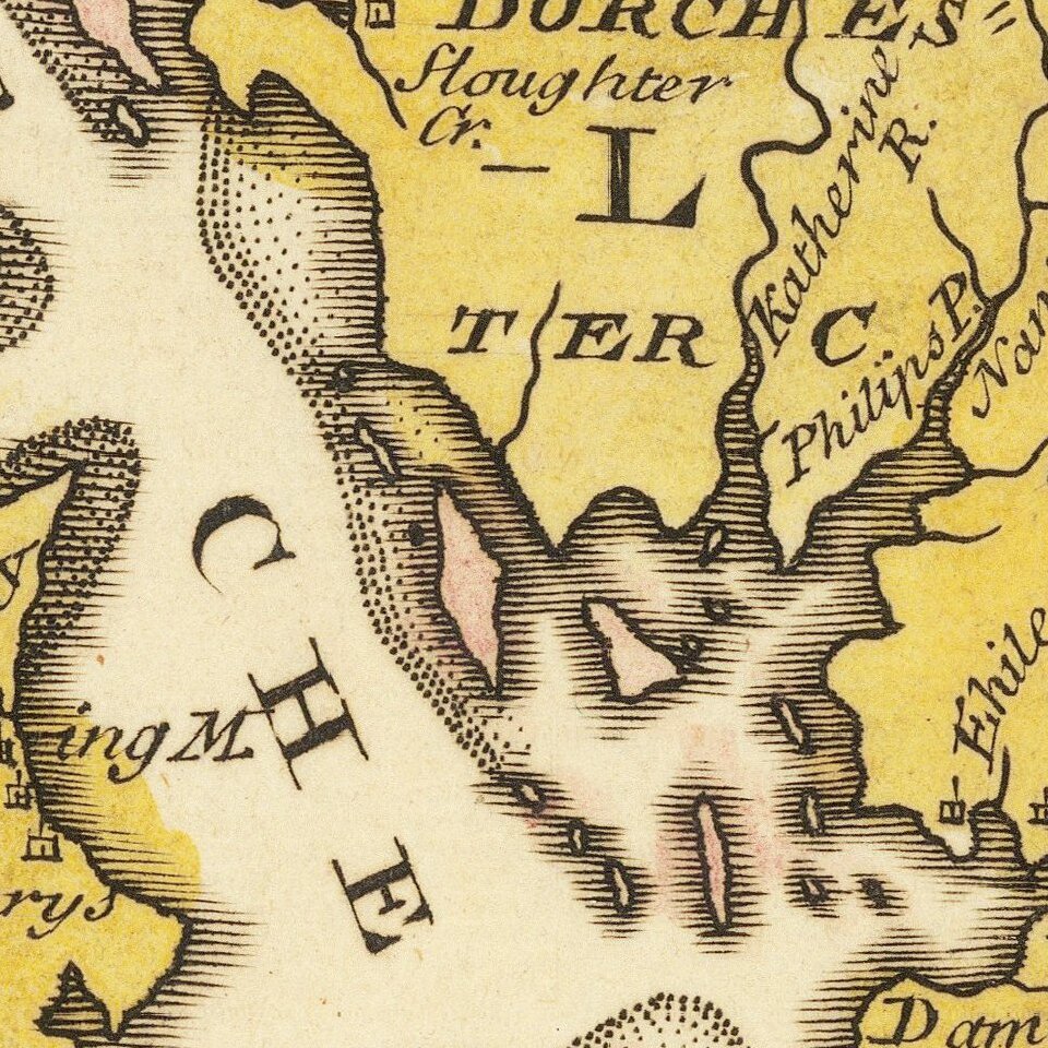
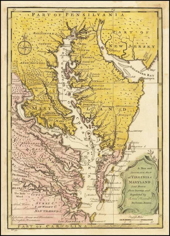
Scarce map of the Chesapeake region, based upon Augustine Hermann's map of 1673 and Henry Popple's map of 1733.

The map includes a number of interesting annotations and place names, including Indian House and Plantations, English Plantations, Black Water Plantations, and numerous early towns and villages. Includes decorative title cartouche and compass rose. The map appeared in Bowen's A Complete System of Geography..., first issued in 1747.

Papenfuse & Coale, fig. 24.

Special conditions for students!

If you are a student, write to us in telegram: @antiquemaps and indicate what material you need and for what work you need a map in high detail. We are ready to provide material on special terms. For students only!

Item information:

Year of creation:
Size:
5986x8317 px
Disk:
14.5297MiB
Number of pages:
1
Place:
London
Author:
Emanuel Bowen.
$14.99

Related item