Map size in jpg-format: 31.7466MiB
Click to open in high resolution (open in new tab).
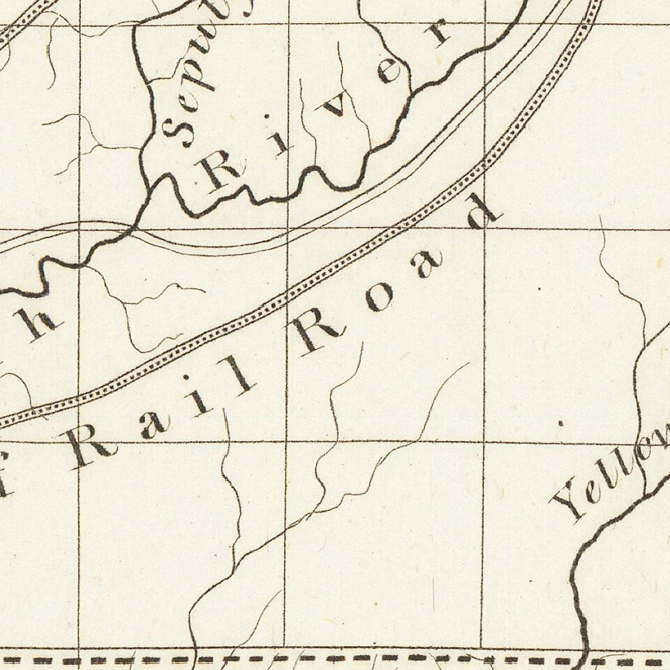
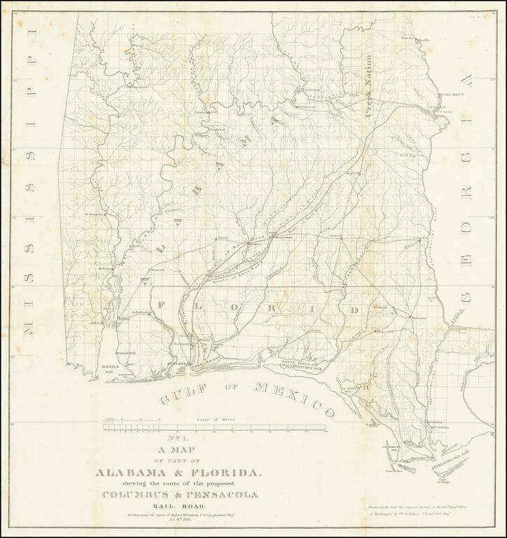
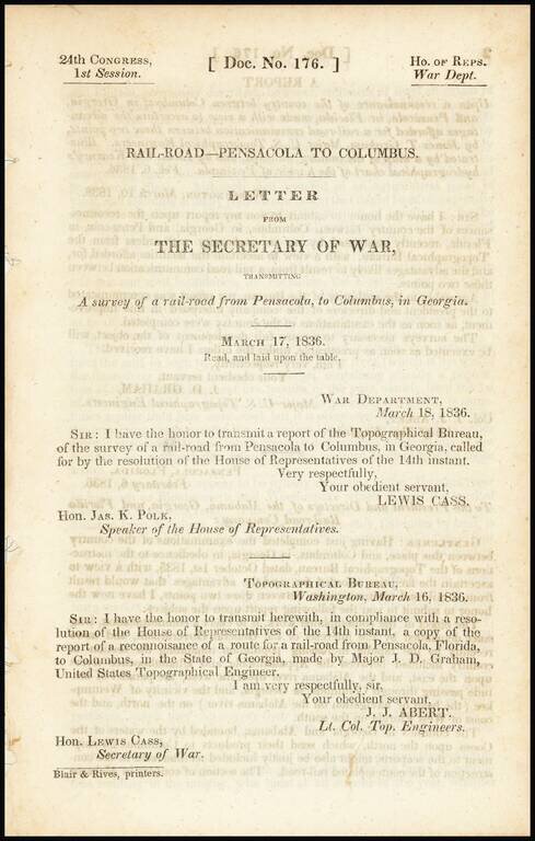
Detailed map of Alabama and western Florida, showing the route of the proposed Columbus & Pensacola Railroad, which accompanied the report of Major J.D. Graham, February 6, 1836.
An early and important railroad map of parts of southern Alabama and the Florida Panhandle. The map shows considerable detail and notes the route of the railroad from Pensacola to Montezuma and on to Columbus. Also details the proposed road from Appalachicola to Marrianna.
The map shows numerous wagon roads and names numerous towns and forts. The map was drawn by Wm. R. Palmer chiefly from the original surveys in the General Land Office in Washington, D.C.
One of the earliest obtainable maps to detail the railroads in Alabama and Western Florida.
If you are a student, write to us in telegram: @antiquemaps and indicate what material you need and for what work you need a map in high detail. We are ready to provide material on special terms. For students only!

![[Wall Map] West-Indische Paskaert waer in de graden der breedde over weder zyden vande middelyn wassende so vergrooten dat die geproportioneert syn tegen hunne nevenstaende graden de lengde.](/map/small/60169.jpg)
