logo

1759. A Map of Guadaloupe one of the Caribbee Islands in the West Indies Subject to France

  • A Map of Guadaloupe one of the Caribbee Islands in the West Indies Subject to France

A Map of Guadaloupe one of the Caribbee Islands in the West Indies Subject to France information:

Year of creation: 
Resolution size (pixels): 
 5883x4955 px
Disk Size: 
 7.41365MiB
Number of pages: 
 1
Place: 
 London
Author: 

Print information. Print size (Width x height in inches):
Printing at 72 dpi 
  81.71 х 68.82
Printing at 150 dpi 
 39.22 х 33.03
Printing at 300 dpi 
 19.61 х 16.52

An example of detailing the file of this map of in a printable high-resolution:

Click to open in high resolution (open in new tab).
Attention! this is just the central piece (central area 960x960 px) of the map file!
This is an example, so that you can see and study the level of detail of a given map. The entire Map will be fully available after payment!

A Map of Guadaloupe one of the Caribbee Islands in the West Indies Subject to France

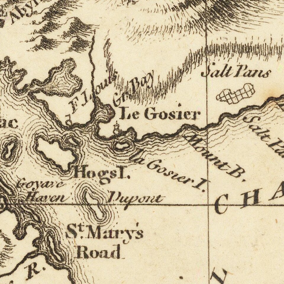
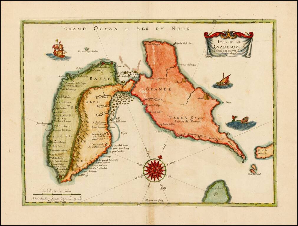
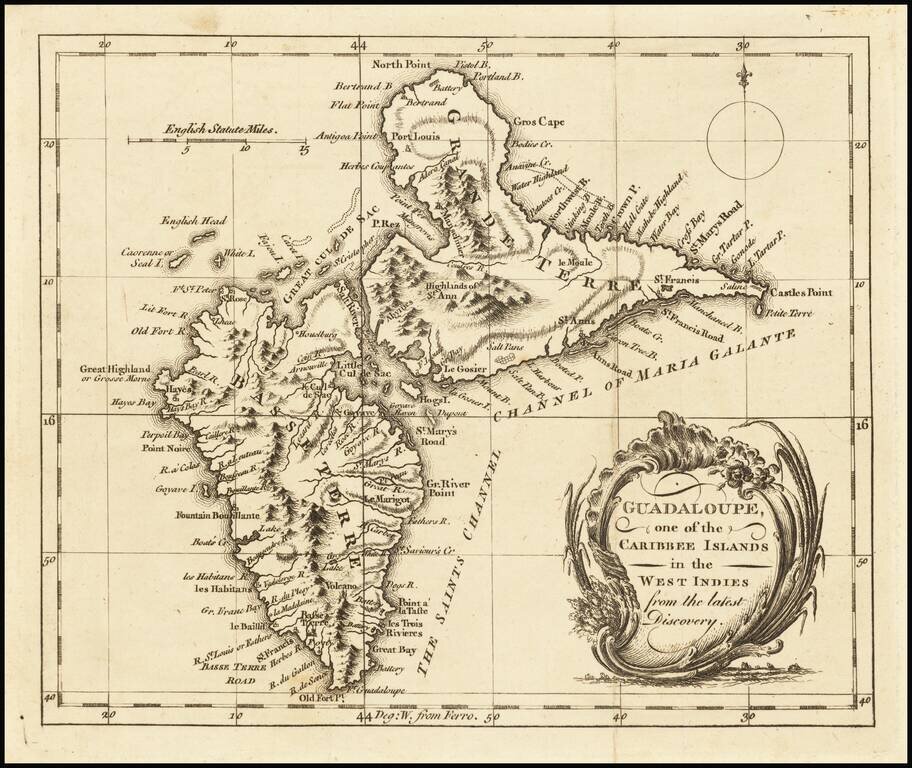
Detailed map of Guadalupe, showing towns, harbors, bays, rivers, lakes, and a host of other details.

Decorative cartouche and compass rose.


Special conditions for students!

If you are a student, write to us in telegram: @antiquemaps and indicate what material you need and for what work you need a map in high detail. We are ready to provide material on special terms. For students only!

Item information:

Year of creation:
Size:
5883x4955 px
Disk:
7.41365MiB
Number of pages:
1
Place:
London
Author:
London Magazine.
$14.99

Related item